Area Overview for OX4 1XH
Photos of OX4 1XH
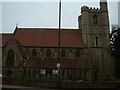
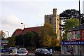
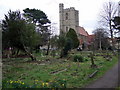
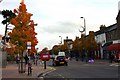


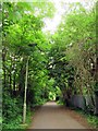
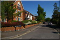
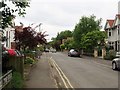
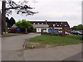
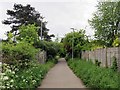
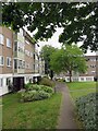
100 photos from this area
Area Information
Key information about the OX4 1XH including its size, population, and administrative classification.
- Area Type
- Postcode
- Area Size
- 1.1 hectares
- Population
- 1351
- Population Density
- 4058 people/km²
House Prices in OX4 1XH
37
Properties
£266,404
Average Sold Price
£94,000
Lowest Price
£460,000
Highest Price
Showing 37 properties
| Address | Type | Beds | Baths | Last Sale Price | Last Sale Date | |
|---|---|---|---|---|---|---|
| 36 Ablett Close, Oxford, OX4 1XH | Terraced | 2 | 1 | £385,000 | Oct 2025 | |
| 32 Ablett Close, Oxford, OX4 1XH | Terraced | 2 | 1 | £360,000 | Feb 2024 | |
| 28 Ablett Close, Oxford, OX4 1XH | Semi-detached | 3 | 2 | £435,000 | Nov 2023 | |
| 22 Ablett Close, Oxford, OX4 1XH | house | - | - | £460,000 | Nov 2023 | |
| 17 Ablett Close, Oxford, OX4 1XH | Semi-detached | 3 | 2 | £188,829 | Oct 2023 | |
| 27 Ablett Close, Oxford, OX4 1XH | Terraced | 3 | - | £330,000 | Feb 2023 | |
| 2 Ablett Close, Oxford, OX4 1XH | Terraced | 2 | 1 | £390,000 | Feb 2023 | |
| 5 Ablett Close, Oxford, OX4 1XH | Terraced | 3 | 1 | £450,000 | May 2021 | |
| 21 Ablett Close, Oxford, OX4 1XH | Terraced | 2 | 1 | £355,000 | Jul 2019 | |
| 26 ABLETT CLOSE, Oxford, OX4 1XH | Semi-detached | 3 | - | £385,000 | Jul 2018 |
Page 1 of 4
Energy Efficiency in OX4 1XH
Amenities
Schools
| Rank | School | Type | Entry gender | Ages |
|---|
Explore more schools in this area
Go to Schools tabDemographics
Household Size
Family (3-5 people)
most common
Accommodation Type
Houses
most common
Tenure
31
majority
Ethnic Group
White
most common
Religion
N/A
most common
Household Composition
N/A
most common
Age
22
median
Young Adults (15-29 years)
most common
Household Deprivation
N/A
with no deprivation
NS-SEC
34
in Lower managerial occupations
Explore more demographic insights in this area
Go to Demographics tabPlanning
Planning Constraints
- Flood RiskPremium
- Ramsar Wetland SitesPremium
- Area of Outstanding Natural BeautyPremium
- Protected Nature ReservePremium
- Protected WoodlandPremium