Area Overview for OX4 1NL
Photos of OX4 1NL
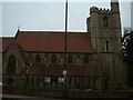
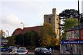
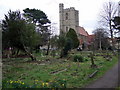
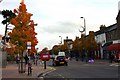

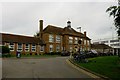
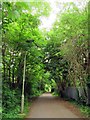
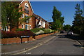
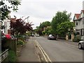
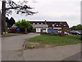
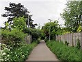
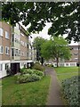
100 photos from this area
Area Information
Key information about the OX4 1NL including its size, population, and administrative classification.
- Area Type
- Postcode
- Area Size
- 8857 m²
- Population
- 1690
- Population Density
- 11986 people/km²
House Prices in OX4 1NL
37
Properties
£355,814
Average Sold Price
£47,000
Lowest Price
£680,000
Highest Price
Showing 37 properties
| Address | Type | Beds | Baths | Last Sale Price | Last Sale Date | |
|---|---|---|---|---|---|---|
| 22 Parsons Place, Oxford, OX4 1NL | house | 5 | 2 | £680,000 | May 2023 | |
| 32 Parsons Place, Oxford, OX4 1NL | Semi-detached | 4 | 2 | £490,000 | Oct 2022 | |
| 12 Parsons Place, Oxford, OX4 1NL | house | 3 | 2 | £475,000 | Jan 2022 | |
| 17 Parsons Place, Oxford, OX4 1NL | Terraced | 5 | 2 | £550,000 | Jun 2021 | |
| 38 Parsons Place, Oxford, OX4 1NL | Terraced | 3 | 2 | £384,000 | Jan 2019 | |
| 10 Parsons Place, Oxford, OX4 1NL | Terraced | 4 | 2 | £390,000 | Aug 2015 | |
| 9 Parsons Place, Oxford, OX4 1NL | Detached | 4 | 2 | £345,000 | May 2014 | |
| 2 Parsons Place, Oxford, OX4 1NL | Terraced | 1 | 1 | £320,000 | Apr 2013 | |
| 3A Parsons Place, Oxford, OX4 1NL | house | - | - | £163,000 | Jan 2002 | |
| 15 Parsons Place, Oxford, OX4 1NL | house | - | - | £47,000 | Jan 2000 |
Page 1 of 4
Energy Efficiency in OX4 1NL
Amenities
Schools
| Rank | School | Type | Entry gender | Ages |
|---|
Explore more schools in this area
Go to Schools tabDemographics
Household Size
Family (3-5 people)
most common
Accommodation Type
Houses
most common
Tenure
31
majority
Ethnic Group
White
most common
Religion
N/A
most common
Household Composition
N/A
most common
Age
22
median
Young Adults (15-29 years)
most common
Household Deprivation
N/A
with no deprivation
NS-SEC
26
in Lower managerial occupations
Explore more demographic insights in this area
Go to Demographics tabPlanning
Planning Constraints
- Flood RiskPremium
- Ramsar Wetland SitesPremium
- Area of Outstanding Natural BeautyPremium
- Protected Nature ReservePremium
- Protected WoodlandPremium