Area Overview for OX4 1DA
Photos of OX4 1DA
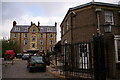
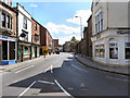
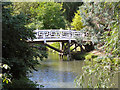
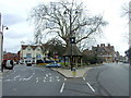
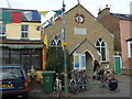
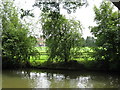
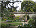
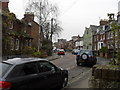
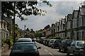
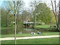
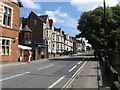
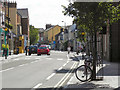
100 photos from this area
Area Information
Key information about the OX4 1DA including its size, population, and administrative classification.
- Area Type
- Postcode
- Area Size
- 5146 m²
- Population
- 1351
- Population Density
- 4058 people/km²
House Prices in OX4 1DA
17
Properties
£353,400
Average Sold Price
£275,000
Lowest Price
£390,000
Highest Price
Showing 17 properties
| Address | Type | Beds | Baths | Last Sale Price | Last Sale Date | |
|---|---|---|---|---|---|---|
| 18 Cross Street, Oxford, OX4 1DA | house | - | - | £360,000 | Feb 2022 | |
| 17 Cross Street, Oxford, OX4 1DA | Terraced | 2 | 1 | £352,000 | Aug 2021 | |
| 14 Cross Street, Oxford, OX4 1DA | Flat | 2 | 1 | £390,000 | Apr 2016 | |
| 13 Cross Street, Oxford, OX4 1DA | Flat | 2 | 1 | £390,000 | Apr 2016 | |
| 16 Cross Street, Oxford, OX4 1DA | Terraced | 2 | 1 | £275,000 | Jan 2013 | |
| 12 Cross Street, Oxford, OX4 1DA | Terraced | 3 | 2 | - | - | |
| 13A Cross Street, Oxford, OX4 1DA | Terraced | 3 | 2 | - | - | |
| 14A Cross Street, Oxford, OX4 1DA | Flat | 1 | 1 | - | - | |
| The Parish Office, St Clement's Family Centre, Cross Street, Oxford, OX4 1DA | Office | - | - | - | - | |
| Ground Floor Office, Cross Street, Oxford, OX4 1DA | Office | - | - | - | - |
Page 1 of 2
Energy Efficiency in OX4 1DA
Amenities
Schools
| Rank | School | Type | Entry gender | Ages |
|---|
Explore more schools in this area
Go to Schools tabDemographics
Household Size
Family (3-5 people)
most common
Accommodation Type
Houses
most common
Tenure
31
majority
Ethnic Group
White
most common
Religion
N/A
most common
Household Composition
N/A
most common
Age
22
median
Young Adults (15-29 years)
most common
Household Deprivation
N/A
with no deprivation
NS-SEC
34
in Lower managerial occupations
Explore more demographic insights in this area
Go to Demographics tabPlanning
Planning Constraints
- Flood RiskPremium
- Ramsar Wetland SitesPremium
- Area of Outstanding Natural BeautyPremium
- Protected Nature ReservePremium
- Protected WoodlandPremium