Area Overview for OX39 4DU
Photos of OX39 4DU
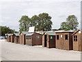
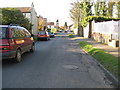
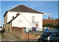
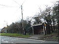
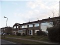
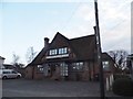
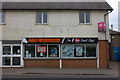
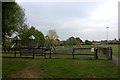
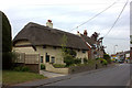
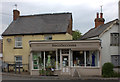
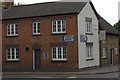
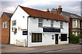
48 photos from this area
Area Information
Key information about the OX39 4DU including its size, population, and administrative classification.
- Area Type
- Postcode
- Area Size
- 8445 m²
- Population
- 1805
- Population Density
- 2146 people/km²
House Prices in OX39 4DU
21
Properties
£285,000
Average Sold Price
£161,000
Lowest Price
£607,900
Highest Price
Showing 21 properties
| Address | Type | Beds | Baths | Last Sale Price | Last Sale Date | |
|---|---|---|---|---|---|---|
| 41 Lower Road, Chinnor, OX39 4DU | Terraced | 2 | 1 | £305,000 | Sep 2024 | |
| Ferndale, 45 Lower Road, Chinnor, OX39 4DU | Semi-detached | 4 | 2 | £607,900 | Apr 2023 | |
| 49A Lower Road, Chinnor, OX39 4DU | Flat | - | - | £285,000 | Dec 2022 | |
| 47 Lower Road, Chinnor, OX39 4DU | house | - | - | £555,000 | Jan 2020 | |
| 37 Lower Road, Chinnor, OX39 4DU | Terraced | 2 | 1 | £323,100 | Mar 2018 | |
| Charteridge Cottage, 53 Lower Road, Chinnor, OX39 4DU | Terraced | 2 | 1 | £235,000 | Feb 2014 | |
| 49C Lower Road, Chinnor, OX39 4DU | Flat | 2 | 1 | £175,000 | Dec 2013 | |
| 49D Lower Road, Chinnor, OX39 4DU | Flat | - | - | £220,000 | Jul 2013 | |
| 49B Lower Road, Chinnor, OX39 4DU | Flat | 3 | 2 | £205,000 | Jun 2013 | |
| Elandia, 44 Lower Road, Chinnor, OX39 4DU | Detached | - | - | £333,000 | May 2006 |
Page 1 of 3
Energy Efficiency in OX39 4DU
Amenities
Schools
| Rank | School | Type | Entry gender | Ages |
|---|
Explore more schools in this area
Go to Schools tabDemographics
Household Size
Family (3-5 people)
most common
Accommodation Type
Houses
most common
Tenure
82
majority
Ethnic Group
White
most common
Religion
N/A
most common
Household Composition
N/A
most common
Age
47
median
Adults (30-64 years)
most common
Household Deprivation
N/A
with no deprivation
NS-SEC
42
in Lower managerial occupations
Explore more demographic insights in this area
Go to Demographics tabPlanning
Planning Constraints
- Flood RiskPremium
- Ramsar Wetland SitesPremium
- Area of Outstanding Natural BeautyPremium
- Protected Nature ReservePremium
- Protected WoodlandPremium