Area Overview for OX33 1LU
Photos of OX33 1LU
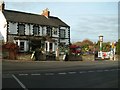
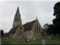
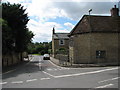
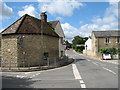
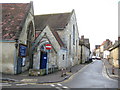
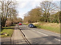
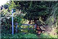
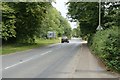
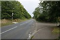
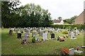
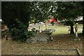
100 photos from this area
Area Information
Key information about the OX33 1LU including its size, population, and administrative classification.
- Area Type
- Postcode
- Area Size
- 2.3 hectares
- Population
- 1246
- Population Density
- 504 people/km²
House Prices in OX33 1LU
41
Properties
£355,413
Average Sold Price
£80,000
Lowest Price
£1,055,000
Highest Price
Showing 41 properties
| Address | Type | Beds | Baths | Last Sale Price | Last Sale Date | |
|---|---|---|---|---|---|---|
| 81 Church Road, Wheatley, Oxford, OX33 1LU | Flat | - | - | £245,000 | Mar 2024 | |
| 57 Church Road, Wheatley, Oxford, OX33 1LU | Semi-detached | 3 | 1 | £445,000 | Oct 2023 | |
| 65 Church Road, Wheatley, Oxford, OX33 1LU | Detached | 3 | 1 | £430,000 | Feb 2023 | |
| 61 Church Road, Wheatley, Oxford, OX33 1LU | Detached | 4 | 3 | £460,000 | Aug 2022 | |
| 73 Church Road, Wheatley, Oxford, OX33 1LU | Detached | 3 | - | £420,000 | Apr 2021 | |
| 71 Church Road, Wheatley, Oxford, OX33 1LU | house | - | - | £360,000 | Mar 2021 | |
| 116 Church Road, Wheatley, Oxford, OX33 1LU | house | - | - | £1,055,000 | Jan 2021 | |
| 69 Church Road, Wheatley, Oxford, OX33 1LU | Semi-detached | 5 | 3 | £440,000 | Dec 2019 | |
| 132 Church Road, Wheatley, Oxford, OX33 1LU | house | 4 | - | £722,000 | Jun 2019 | |
| 120 Church Road, Wheatley, Oxford, OX33 1LU | house | - | - | £422,000 | May 2019 |
Page 1 of 5
Energy Efficiency in OX33 1LU
Amenities
Schools
| Rank | School | Type | Entry gender | Ages |
|---|
Explore more schools in this area
Go to Schools tabDemographics
Household Size
Two person
most common
Accommodation Type
Houses
most common
Tenure
74
majority
Ethnic Group
White
most common
Religion
N/A
most common
Household Composition
N/A
most common
Age
47
median
Adults (30-64 years)
most common
Household Deprivation
N/A
with no deprivation
NS-SEC
36
in Lower managerial occupations
Explore more demographic insights in this area
Go to Demographics tabPlanning
Planning Constraints
- Flood RiskPremium
- Ramsar Wetland SitesPremium
- Area of Outstanding Natural BeautyPremium
- Protected Nature ReservePremium
- Protected WoodlandPremium