Area Overview for OX3 0EW
Photos of OX3 0EW
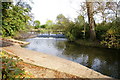
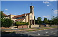
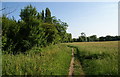
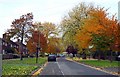
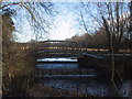
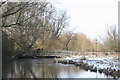
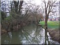
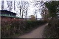
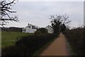
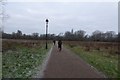
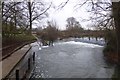
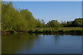
98 photos from this area
Area Information
Key information about the OX3 0EW including its size, population, and administrative classification.
- Area Type
- Postcode
- Area Size
- 2.2 hectares
- Population
- 2314
- Population Density
- 2432 people/km²
House Prices in OX3 0EW
35
Properties
£376,532
Average Sold Price
£88,000
Lowest Price
£733,000
Highest Price
Showing 35 properties
| Address | Type | Beds | Baths | Last Sale Price | Last Sale Date | |
|---|---|---|---|---|---|---|
| 289 Marston Road, Oxford, OX3 0EW | Semi-detached | 3 | 1 | £525,000 | Feb 2025 | |
| 263 Marston Road, Oxford, OX3 0EW | Semi-detached | 3 | 1 | £575,000 | Aug 2023 | |
| 259 Marston Road, Oxford, OX3 0EW | house | - | - | £733,000 | Aug 2023 | |
| 281 Marston Road, Oxford, OX3 0EW | Semi-detached | 5 | 2 | £380,000 | Apr 2019 | |
| 311 Marston Road, Oxford, OX3 0EW | Semi-detached | 3 | - | £355,000 | Jan 2019 | |
| 257 Marston Road, Oxford, OX3 0EW | Semi-detached | 3 | 1 | £515,000 | Dec 2018 | |
| 309 Marston Road, Oxford, OX3 0EW | Semi-detached | 4 | 1 | £378,000 | Sep 2018 | |
| 273 Marston Road, Oxford, OX3 0EW | Semi-detached | 3 | - | £435,000 | Jun 2017 | |
| 277 Marston Road, Oxford, OX3 0EW | Semi-detached | 3 | - | £350,000 | Oct 2015 | |
| 279 Marston Road, Oxford, OX3 0EW | Semi-detached | 3 | 1 | £297,500 | Jul 2012 |
Page 1 of 4
Energy Efficiency in OX3 0EW
Amenities
Schools
| Rank | School | Type | Entry gender | Ages |
|---|
Explore more schools in this area
Go to Schools tabDemographics
Household Size
Family (3-5 people)
most common
Accommodation Type
Houses
most common
Tenure
62
majority
Ethnic Group
White
most common
Religion
N/A
most common
Household Composition
N/A
most common
Age
22
median
Young Adults (15-29 years)
most common
Household Deprivation
N/A
with no deprivation
NS-SEC
31
in Lower managerial occupations
Explore more demographic insights in this area
Go to Demographics tabPlanning
Planning Constraints
- Flood RiskPremium
- Ramsar Wetland SitesPremium
- Area of Outstanding Natural BeautyPremium
- Protected Nature ReservePremium
- Protected WoodlandPremium