Area Overview for OX3 0AU
Photos of OX3 0AU

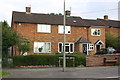
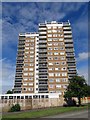
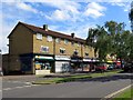
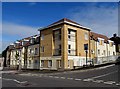
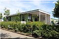
50 photos from this area
Area Information
Key information about the OX3 0AU including its size, population, and administrative classification.
- Area Type
- Postcode
- Area Size
- 1.1 hectares
- Population
- 2114
- Population Density
- 7272 people/km²
House Prices in OX3 0AU
47
Properties
£228,238
Average Sold Price
£60,000
Lowest Price
£503,000
Highest Price
Showing 47 properties
| Address | Type | Beds | Baths | Last Sale Price | Last Sale Date | |
|---|---|---|---|---|---|---|
| 69 Copse Lane, Oxford, OX3 0AU | Semi-detached | 3 | 1 | £200,000 | Feb 2022 | |
| 98 Copse Lane, Oxford, OX3 0AU | Flat | - | - | £271,000 | Aug 2021 | |
| 67 Copse Lane, Oxford, OX3 0AU | Semi-detached | 3 | 1 | £410,000 | Feb 2020 | |
| 104 Copse Lane, Oxford, OX3 0AU | Flat | 2 | 1 | £270,000 | Aug 2018 | |
| 73 Copse Lane, Oxford, OX3 0AU | Semi-detached | 3 | 1 | £350,000 | Nov 2017 | |
| 146 Copse Lane, Oxford, OX3 0AU | Semi-detached | 6 | 3 | £503,000 | Jul 2016 | |
| 96 Copse Lane, Oxford, OX3 0AU | Flat | 3 | - | £230,000 | Jan 2015 | |
| 100 Copse Lane, Oxford, OX3 0AU | Flat | - | - | £185,000 | Oct 2013 | |
| 122 Copse Lane, Oxford, OX3 0AU | Flat | 3 | - | £208,000 | Jan 2012 | |
| 95 Copse Lane, Oxford, OX3 0AU | house | - | - | £175,000 | Nov 2010 |
Page 1 of 5
Energy Efficiency in OX3 0AU
Amenities
Schools
| Rank | School | Type | Entry gender | Ages |
|---|
Explore more schools in this area
Go to Schools tabDemographics
Household Size
Family (3-5 people)
most common
Accommodation Type
Houses
most common
Tenure
47
majority
Ethnic Group
White
most common
Religion
N/A
most common
Household Composition
N/A
most common
Age
47
median
Adults (30-64 years)
most common
Household Deprivation
N/A
with no deprivation
NS-SEC
39
in Lower managerial occupations
Explore more demographic insights in this area
Go to Demographics tabPlanning
Planning Constraints
- Flood RiskPremium
- Ramsar Wetland SitesPremium
- Area of Outstanding Natural BeautyPremium
- Protected Nature ReservePremium
- Protected WoodlandPremium