Area Overview for OX29 9QG
Photos of OX29 9QG
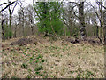
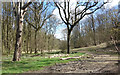
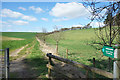
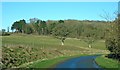
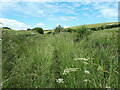
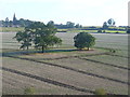
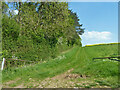
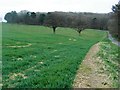

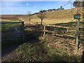


15 photos from this area
Area Information
Key information about the OX29 9QG including its size, population, and administrative classification.
- Area Type
- Postcode
- Area Size
- 2.3 km²
- Population
- 1951
- Population Density
- 29 people/km²
House Prices in OX29 9QG
34
Properties
£446,948
Average Sold Price
£79,950
Lowest Price
£1,450,000
Highest Price
Showing 34 properties
| Address | Type | Beds | Baths | Last Sale Price | Last Sale Date | |
|---|---|---|---|---|---|---|
| Sylvan Cottage, 59A Lower End, Leafield, OX29 9QG | Detached | 3 | 2 | £410,000 | Aug 2023 | |
| Stonelea, 71 Lower End, Leafield, OX29 9QG | Semi-detached | 3 | 1 | £500,000 | Jul 2023 | |
| Pinewood, 89 Lower End, Leafield, OX29 9QG | Semi-detached | 4 | 2 | £480,000 | Jul 2023 | |
| The Barn, 77 Lower End, Leafield, OX29 9QG | Detached | 4 | 3 | £635,000 | Oct 2022 | |
| Lower End Farmhouse, 87 Lower End, Leafield, OX29 9QG | Detached | 7 | 4 | £1,450,000 | Dec 2021 | |
| Rose Cottage, 101 Lower End, Leafield, OX29 9QG | Semi-detached | 4 | 2 | £650,000 | Sep 2021 | |
| Allium Cottage, 63 Lower End, Leafield, OX29 9QG | Terraced | 3 | 1 | £290,000 | Mar 2021 | |
| Sledges Rest, 93A Lower End, Leafield, OX29 9QG | house | - | - | £750,000 | Mar 2021 | |
| Lantern Cottage, 69 Lower End, Leafield, OX29 9QG | house | - | - | £435,000 | Oct 2020 | |
| Southway, 59 Lower End, Leafield, OX29 9QG | Semi-detached | 3 | 2 | £455,000 | Aug 2020 |
Page 1 of 4
Energy Efficiency in OX29 9QG
Amenities
Schools
| Rank | School | Type | Entry gender | Ages |
|---|
Explore more schools in this area
Go to Schools tabDemographics
Household Size
Two person
most common
Accommodation Type
Houses
most common
Tenure
68
majority
Ethnic Group
White
most common
Religion
N/A
most common
Household Composition
N/A
most common
Age
47
median
Adults (30-64 years)
most common
Household Deprivation
N/A
with no deprivation
NS-SEC
42
in Lower managerial occupations
Explore more demographic insights in this area
Go to Demographics tabPlanning
Planning Constraints
- Flood RiskPremium
- Ramsar Wetland SitesPremium
- Area of Outstanding Natural BeautyPremium
- Protected Nature ReservePremium
- Protected WoodlandPremium