Area Overview for OX29 8NZ
Photos of OX29 8NZ
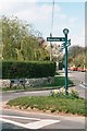
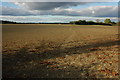
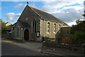
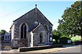
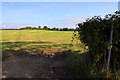
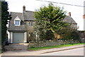
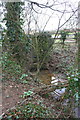
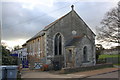
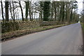
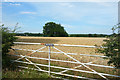
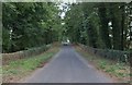
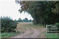
25 photos from this area
Area Information
Key information about the OX29 8NZ including its size, population, and administrative classification.
- Area Type
- Postcode
- Area Size
- 2.0 hectares
- Population
- 1532
- Population Density
- 65 people/km²
House Prices in OX29 8NZ
19
Properties
£609,417
Average Sold Price
£60,000
Lowest Price
£1,010,000
Highest Price
Showing 19 properties
| Address | Type | Beds | Baths | Last Sale Price | Last Sale Date | |
|---|---|---|---|---|---|---|
| 61 Akeman Street, Combe, OX29 8NZ | house | 3 | 2 | £550,000 | Aug 2023 | |
| The Hive, 47 Akeman Street, Combe, OX29 8NZ | house | - | - | £625,000 | Jun 2021 | |
| The Yellow House, 45 Akeman Street, Combe, OX29 8NZ | Semi-detached | 4 | 2 | £610,000 | Apr 2021 | |
| 17 Akeman Street, Combe, OX29 8NZ | Detached | 4 | 2 | £750,000 | Dec 2020 | |
| The Cottage, 19 Akeman Street, Combe, OX29 8NZ | Semi-detached | 4 | - | £720,000 | Mar 2020 | |
| Old House Cottage, 23 Akeman Street, Combe, OX29 8NZ | Detached | 4 | 2 | £850,000 | Nov 2019 | |
| Winthorpe, 31 Akeman Street, Combe, OX29 8NZ | Detached | 6 | 4 | £985,000 | Aug 2018 | |
| Little Manor, 9 Akeman Street, Combe, OX29 8NZ | house | 2 | - | £326,000 | Feb 2012 | |
| The Firs, 49 Akeman Street, Combe, OX29 8NZ | house | 4 | - | £477,000 | Dec 2010 | |
| 41 Akeman Street, Combe, OX29 8NZ | Detached | 4 | 3 | £350,000 | Oct 2009 |
Page 1 of 2
Energy Efficiency in OX29 8NZ
Amenities
Schools
| Rank | School | Type | Entry gender | Ages |
|---|
Explore more schools in this area
Go to Schools tabDemographics
Household Size
Two person
most common
Accommodation Type
Houses
most common
Tenure
63
majority
Ethnic Group
White
most common
Religion
N/A
most common
Household Composition
N/A
most common
Age
47
median
Adults (30-64 years)
most common
Household Deprivation
N/A
with no deprivation
NS-SEC
40
in Lower managerial occupations
Explore more demographic insights in this area
Go to Demographics tabPlanning
Planning Constraints
- Flood RiskPremium
- Ramsar Wetland SitesPremium
- Area of Outstanding Natural BeautyPremium
- Protected Nature ReservePremium
- Protected WoodlandPremium