Area Overview for OX29 8AP
Photos of OX29 8AP
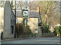
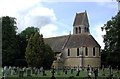
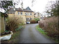
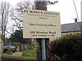
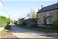

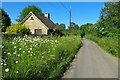
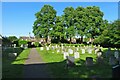
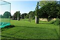
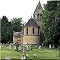
46 photos from this area
Area Information
Key information about the OX29 8AP including its size, population, and administrative classification.
- Area Type
- Postcode
- Area Size
- 65.7 hectares
- Population
- 1521
- Population Density
- 359 people/km²
House Prices in OX29 8AP
14
Properties
£1,049,000
Average Sold Price
£220,000
Lowest Price
£3,450,000
Highest Price
Showing 14 properties
| Address | Type | Beds | Baths | Last Sale Price | Last Sale Date | |
|---|---|---|---|---|---|---|
| Overstone, The Green, Freeland, OX29 8AP | Semi-detached | 3 | 1 | £650,000 | Jul 2019 | |
| Elm Farm, The Green, Freeland, OX29 8AP | Detached | 2 | 2 | £3,450,000 | Nov 2018 | |
| Orchard View, The Green, Freeland, OX29 8AP | Detached | - | - | £495,000 | Dec 2006 | |
| Smarts Cottage, The Green, Freeland, OX29 8AP | Semi-detached | - | - | £220,000 | Sep 2003 | |
| Bridleway End, The Green, Freeland, OX29 8AP | Detached | - | - | £430,000 | Nov 2001 | |
| The Kiln, The Green, Freeland, OX29 8AP | Detached | 3 | - | - | - | |
| 44 The Green, Freeland, OX29 8AP | Land | - | - | - | - | |
| Cherwell Cottage, The Green, Freeland, OX29 8AP | house | 4 | - | - | - | |
| Annexe, Elm Farm, The Green, Freeland, OX29 8AP | house | - | - | - | - | |
| Shaston, The Green, Freeland, OX29 8AP | house | - | - | - | - |
Page 1 of 2
Energy Efficiency in OX29 8AP
Amenities
Schools
| Rank | School | Type | Entry gender | Ages |
|---|
Explore more schools in this area
Go to Schools tabDemographics
Household Size
Two person
most common
Accommodation Type
Houses
most common
Tenure
89
majority
Ethnic Group
White
most common
Religion
N/A
most common
Household Composition
N/A
most common
Age
47
median
Adults (30-64 years)
most common
Household Deprivation
N/A
with no deprivation
NS-SEC
48
in Lower managerial occupations
Explore more demographic insights in this area
Go to Demographics tabPlanning
Planning Constraints
- Flood RiskPremium
- Ramsar Wetland SitesPremium
- Area of Outstanding Natural BeautyPremium
- Protected Nature ReservePremium
- Protected WoodlandPremium