Area Overview for OX29 7RT
Photos of OX29 7RT
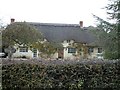
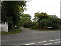
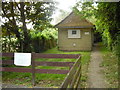
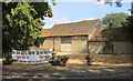
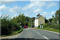
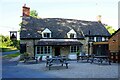
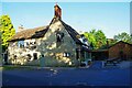
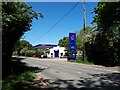
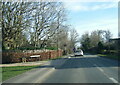
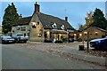
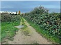
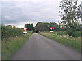
23 photos from this area
Area Information
Key information about the OX29 7RT including its size, population, and administrative classification.
- Area Type
- Postcode
- Area Size
- 5.7 hectares
- Population
- 1608
- Population Density
- 106 people/km²
House Prices in OX29 7RT
24
Properties
£819,170
Average Sold Price
£110,000
Lowest Price
£2,415,099
Highest Price
Showing 24 properties
| Address | Type | Beds | Baths | Last Sale Price | Last Sale Date | |
|---|---|---|---|---|---|---|
| 62 High Street, Standlake, OX29 7RT | Detached | 5 | 3 | £750,000 | Aug 2025 | |
| Fletchers House Caravan, 84 High Street, Standlake, OX29 7RT | Detached | 5 | 4 | £2,415,099 | Jun 2023 | |
| Fletchers House, 84 High Street, Standlake, OX29 7RT | Detached | - | - | £2,415,099 | Jun 2023 | |
| 60 High Street, Standlake, OX29 7RT | Cottage | 4 | 1 | £775,000 | Feb 2023 | |
| 86 High Street, Standlake, OX29 7RT | Detached | - | - | £700,000 | Apr 2021 | |
| 68 High Street, Standlake, OX29 7RT | Detached | - | - | £310,000 | Mar 2011 | |
| Winterwood, 40 High Street, Standlake, OX29 7RT | Semi-detached | - | - | £372,500 | Mar 2004 | |
| 92 High Street, Standlake, OX29 7RT | Detached | - | - | £202,000 | Sep 2002 | |
| 56 High Street, Standlake, OX29 7RT | Semi-detached | - | - | £142,000 | Aug 2001 | |
| The Elms, 64 High Street, Standlake, OX29 7RT | Detached | - | - | £110,000 | Feb 1996 |
Page 1 of 3
Energy Efficiency in OX29 7RT
Amenities
Schools
| Rank | School | Type | Entry gender | Ages |
|---|
Explore more schools in this area
Go to Schools tabDemographics
Household Size
Two person
most common
Accommodation Type
Houses
most common
Tenure
85
majority
Ethnic Group
White
most common
Religion
N/A
most common
Household Composition
N/A
most common
Age
47
median
Adults (30-64 years)
most common
Household Deprivation
N/A
with no deprivation
NS-SEC
47
in Lower managerial occupations
Explore more demographic insights in this area
Go to Demographics tabPlanning
Planning Constraints
- Flood RiskPremium
- Ramsar Wetland SitesPremium
- Area of Outstanding Natural BeautyPremium
- Protected Nature ReservePremium
- Protected WoodlandPremium