Area Overview for OX28 6LE
Photos of OX28 6LE
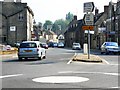
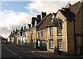
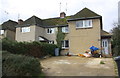
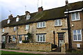
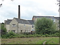
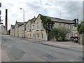
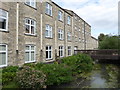
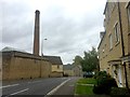
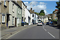
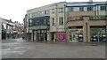
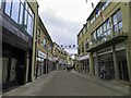
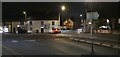
84 photos from this area
Area Information
Key information about the OX28 6LE including its size, population, and administrative classification.
- Area Type
- Postcode
- Area Size
- 1.4 hectares
- Population
- 2156
- Population Density
- 4749 people/km²
House Prices in OX28 6LE
30
Properties
£220,150
Average Sold Price
£66,000
Lowest Price
£407,500
Highest Price
Showing 30 properties
| Address | Type | Beds | Baths | Last Sale Price | Last Sale Date | |
|---|---|---|---|---|---|---|
| 18 Dark Lane, Witney, OX28 6LE | Terraced | 3 | - | £407,500 | Oct 2025 | |
| 17 Dark Lane, Witney, OX28 6LE | Flat | 2 | 1 | £170,000 | Dec 2020 | |
| 21 Dark Lane, Witney, OX28 6LE | Maisonette | 2 | - | £180,000 | Nov 2020 | |
| 28 Dark Lane, Witney, OX28 6LE | Detached | 3 | 1 | £325,000 | Jun 2015 | |
| 4 Dark Lane, Witney, OX28 6LE | Semi-detached | 3 | 1 | £287,500 | Jun 2015 | |
| 16 Dark Lane, Witney, OX28 6LE | house | 3 | - | £258,000 | Nov 2012 | |
| 22 Dark Lane, Witney, OX28 6LE | Detached | - | - | £240,000 | Jun 2003 | |
| 20 Dark Lane, Witney, OX28 6LE | house | - | - | £153,000 | Apr 2002 | |
| 3 Dark Lane, Witney, OX28 6LE | Flat | - | - | £66,000 | Dec 2000 | |
| 26 Dark Lane, Witney, OX28 6LE | Semi-detached | - | - | £114,500 | Apr 2000 |
Page 1 of 3
Energy Efficiency in OX28 6LE
Amenities
Schools
| Rank | School | Type | Entry gender | Ages |
|---|
Explore more schools in this area
Go to Schools tabDemographics
Household Size
One person
most common
Accommodation Type
Houses
most common
Tenure
54
majority
Ethnic Group
White
most common
Religion
N/A
most common
Household Composition
N/A
most common
Age
47
median
Adults (30-64 years)
most common
Household Deprivation
N/A
with no deprivation
NS-SEC
38
in Lower managerial occupations
Explore more demographic insights in this area
Go to Demographics tabPlanning
Planning Constraints
- Flood RiskPremium
- Ramsar Wetland SitesPremium
- Area of Outstanding Natural BeautyPremium
- Protected Nature ReservePremium
- Protected WoodlandPremium