Area Overview for OX28 6JD
Photos of OX28 6JD
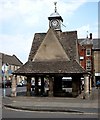
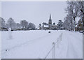
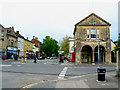
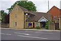
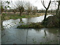
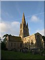
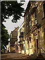
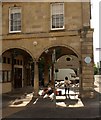
100 photos from this area
Area Information
Key information about the OX28 6JD including its size, population, and administrative classification.
- Area Type
- Postcode
- Area Size
- 512 m²
- Population
- 2156
- Population Density
- 4749 people/km²
House Prices in OX28 6JD
8
Properties
£192,125
Average Sold Price
£124,000
Lowest Price
£260,000
Highest Price
Showing 8 properties
| Address | Type | Beds | Baths | Last Sale Price | Last Sale Date | |
|---|---|---|---|---|---|---|
| 3 Glovers Walk, Witney, OX28 6JD | Flat | 1 | 1 | £195,000 | Apr 2025 | |
| 6 Glovers Walk, Witney, OX28 6JD | Semi-detached | 2 | 1 | £260,000 | Apr 2024 | |
| 2 Glovers Walk, Witney, OX28 6JD | Flat | - | - | £196,000 | Sep 2017 | |
| 4 Glovers Walk, Witney, OX28 6JD | Flat | - | 1 | £149,000 | May 2017 | |
| 1 Glovers Walk, Witney, OX28 6JD | Maisonette | - | - | £225,000 | Jan 2015 | |
| 8 Glovers Walk, Witney, OX28 6JD | Semi-detached | 2 | 1 | £203,500 | Dec 2013 | |
| 5 Glovers Walk, Witney, OX28 6JD | Flat | - | - | £124,000 | Apr 2007 | |
| 7 Glovers Walk, Witney, OX28 6JD | Terraced | - | - | £184,500 | Nov 2004 |
Energy Efficiency in OX28 6JD
Amenities
Schools
| Rank | School | Type | Entry gender | Ages |
|---|
Explore more schools in this area
Go to Schools tabDemographics
Household Size
One person
most common
Accommodation Type
Houses
most common
Tenure
54
majority
Ethnic Group
White
most common
Religion
N/A
most common
Household Composition
N/A
most common
Age
47
median
Adults (30-64 years)
most common
Household Deprivation
N/A
with no deprivation
NS-SEC
38
in Lower managerial occupations
Explore more demographic insights in this area
Go to Demographics tabPlanning
Planning Constraints
- Flood RiskPremium
- Ramsar Wetland SitesPremium
- Area of Outstanding Natural BeautyPremium
- Protected Nature ReservePremium
- Protected WoodlandPremium