Area Overview for OX28 4AW
Photos of OX28 4AW
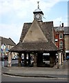
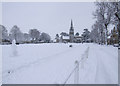
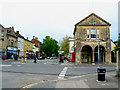
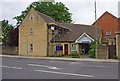
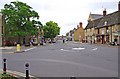
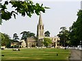
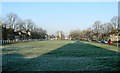
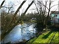
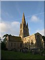
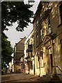
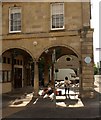
100 photos from this area
Area Information
Key information about the OX28 4AW including its size, population, and administrative classification.
- Area Type
- Postcode
- Area Size
- 2.6 hectares
- Population
- 1653
- Population Density
- 1742 people/km²
House Prices in OX28 4AW
31
Properties
£591,675
Average Sold Price
£257,050
Lowest Price
£1,100,000
Highest Price
Showing 31 properties
| Address | Type | Beds | Baths | Last Sale Price | Last Sale Date | |
|---|---|---|---|---|---|---|
| 8 Church Green, Witney, OX28 4AW | Retail | 4 | - | £756,000 | Dec 2022 | |
| Oriel House, 10A Church Green, Witney, OX28 4AW | Terraced | 4 | - | £755,000 | Jun 2017 | |
| 18 Church Green, Witney, OX28 4AW | Terraced | 4 | 1 | £257,050 | Jul 2014 | |
| 22 Church Green, Witney, OX28 4AW | house | - | - | £1,100,000 | Jan 2014 | |
| 16 Church Green, Witney, OX28 4AW | Terraced | - | - | £362,000 | May 2005 | |
| 10 Church Green, Witney, OX28 4AW | Terraced | - | - | £320,000 | Dec 2001 | |
| 18A Church Green, Witney, OX28 4AW | Terraced | 2 | 1 | - | - | |
| 2 Church Green, Witney, OX28 4AW | Semi-detached | 4 | 1 | - | - | |
| 18B Church Green, Witney, OX28 4AW | Cottage | 2 | 1 | - | - | |
| Trustees Of Witney Town Charity, First Floor, 14 Church Green, Witney, OX28 4AW | Office | - | - | - | - |
Page 1 of 4
Energy Efficiency in OX28 4AW
Amenities
Schools
| Rank | School | Type | Entry gender | Ages |
|---|
Explore more schools in this area
Go to Schools tabDemographics
Household Size
One person
most common
Accommodation Type
Houses
most common
Tenure
63
majority
Ethnic Group
White
most common
Religion
N/A
most common
Household Composition
N/A
most common
Age
47
median
Adults (30-64 years)
most common
Household Deprivation
N/A
with no deprivation
NS-SEC
40
in Lower managerial occupations
Explore more demographic insights in this area
Go to Demographics tabPlanning
Planning Constraints
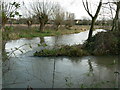
- Flood RiskPremium
- Ramsar Wetland SitesPremium
- Area of Outstanding Natural BeautyPremium
- Protected Nature ReservePremium
- Protected WoodlandPremium