Area Overview for OX28 3SS
Photos of OX28 3SS
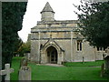
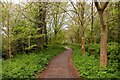
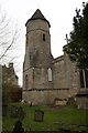
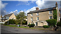
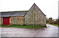
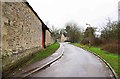
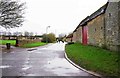
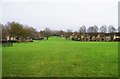
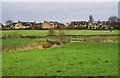
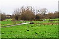
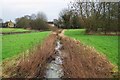
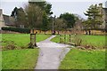
84 photos from this area
Area Information
Key information about the OX28 3SS including its size, population, and administrative classification.
- Area Type
- Postcode
- Area Size
- 9314 m²
- Population
- 1287
- Population Density
- 2862 people/km²
House Prices in OX28 3SS
44
Properties
£154,376
Average Sold Price
£51,000
Lowest Price
£425,000
Highest Price
Showing 44 properties
| Address | Type | Beds | Baths | Last Sale Price | Last Sale Date | |
|---|---|---|---|---|---|---|
| 168 Manor Road, Witney, OX28 3SS | Detached | 2 | 1 | £308,000 | Jul 2024 | |
| 126 Manor Road, Witney, OX28 3SS | Flat | 1 | 1 | £185,000 | Apr 2024 | |
| 98 Manor Road, Witney, OX28 3SS | Maisonette | 1 | 1 | £174,000 | Jul 2023 | |
| 174 Manor Road, Witney, OX28 3SS | Retail | 3 | 1 | £425,000 | Sep 2022 | |
| 114 Manor Road, Witney, OX28 3SS | house | - | - | £220,000 | Aug 2022 | |
| 138 Manor Road, Witney, OX28 3SS | Flat | - | - | £120,000 | Sep 2019 | |
| 148 Manor Road, Witney, OX28 3SS | Terraced | 1 | 1 | £194,000 | Mar 2019 | |
| 162 Manor Road, Witney, OX28 3SS | Terraced | 2 | 1 | £249,000 | Apr 2018 | |
| 156 Manor Road, Witney, OX28 3SS | Semi-detached | 2 | 1 | £280,000 | Jun 2017 | |
| 124 Manor Road, Witney, OX28 3SS | Flat | 1 | - | £185,000 | May 2017 |
Page 1 of 5
Energy Efficiency in OX28 3SS
Amenities
Schools
| Rank | School | Type | Entry gender | Ages |
|---|
Explore more schools in this area
Go to Schools tabDemographics
Household Size
One person
most common
Accommodation Type
Houses
most common
Tenure
76
majority
Ethnic Group
White
most common
Religion
N/A
most common
Household Composition
N/A
most common
Age
47
median
Adults (30-64 years)
most common
Household Deprivation
N/A
with no deprivation
NS-SEC
42
in Lower managerial occupations
Explore more demographic insights in this area
Go to Demographics tabPlanning
Planning Constraints
- Flood RiskPremium
- Ramsar Wetland SitesPremium
- Area of Outstanding Natural BeautyPremium
- Protected Nature ReservePremium
- Protected WoodlandPremium