Area Overview for OX27 7PL
Photos of OX27 7PL
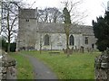

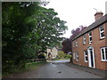
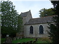
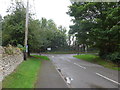
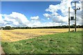
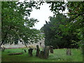

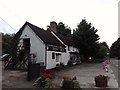
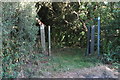

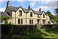
63 photos from this area
Area Information
Key information about the OX27 7PL including its size, population, and administrative classification.
- Area Type
- Postcode
- Area Size
- 1.5 hectares
- Population
- 2488
- Population Density
- 73 people/km²
House Prices in OX27 7PL
19
Properties
£234,675
Average Sold Price
£83,600
Lowest Price
£390,000
Highest Price
Showing 19 properties
| Address | Type | Beds | Baths | Last Sale Price | Last Sale Date | |
|---|---|---|---|---|---|---|
| 7 Russet Road, Ardley, OX27 7PL | Detached | 5 | 2 | £390,000 | Feb 2021 | |
| 15 Russet Road, Ardley, OX27 7PL | Detached | 3 | 3 | £370,000 | Jan 2020 | |
| 2 Russet Road, Ardley, OX27 7PL | Bungalow | 3 | 1 | £310,000 | Oct 2017 | |
| 11 Russet Road, Ardley, OX27 7PL | Detached | 3 | 1 | £315,000 | Aug 2015 | |
| 6 Russet Road, Ardley, OX27 7PL | Detached | 4 | - | £245,000 | Dec 2013 | |
| 10 Russet Road, Ardley, OX27 7PL | Detached | 4 | - | £285,000 | Sep 2013 | |
| 14 Russet Road, Ardley, OX27 7PL | house | 4 | - | £325,000 | Jul 2010 | |
| 13 Russet Road, Ardley, OX27 7PL | Detached | 3 | - | £165,000 | Oct 2002 | |
| 1 Russet Road, Ardley, OX27 7PL | Bungalow | - | - | £112,500 | Nov 1999 | |
| Littlelands, 12 Russet Road, Ardley, OX27 7PL | Detached | - | - | £129,000 | May 1999 |
Page 1 of 2
Energy Efficiency in OX27 7PL
Amenities
Schools
| Rank | School | Type | Entry gender | Ages |
|---|
Explore more schools in this area
Go to Schools tabDemographics
Household Size
Two person
most common
Accommodation Type
Houses
most common
Tenure
70
majority
Ethnic Group
White
most common
Religion
N/A
most common
Household Composition
N/A
most common
Age
47
median
Adults (30-64 years)
most common
Household Deprivation
N/A
with no deprivation
NS-SEC
46
in Lower managerial occupations
Explore more demographic insights in this area
Go to Demographics tabPlanning
Planning Constraints
- Flood RiskPremium
- Ramsar Wetland SitesPremium
- Area of Outstanding Natural BeautyPremium
- Protected Nature ReservePremium
- Protected WoodlandPremium