Area Overview for OX26 6SL
Photos of OX26 6SL
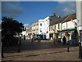
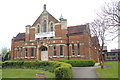
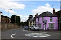
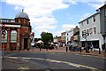
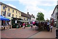
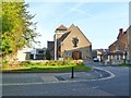
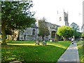
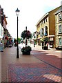
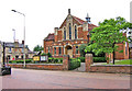
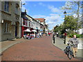
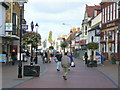
100 photos from this area
Area Information
Key information about the OX26 6SL including its size, population, and administrative classification.
- Area Type
- Postcode
- Area Size
- 4341 m²
- Population
- 1740
- Population Density
- 3182 people/km²
House Prices in OX26 6SL
8
Properties
£478,600
Average Sold Price
£195,000
Lowest Price
£725,000
Highest Price
Showing 8 properties
| Address | Type | Beds | Baths | Last Sale Price | Last Sale Date | |
|---|---|---|---|---|---|---|
| 21 St Johns Street, Bicester, OX26 6SL | Semi-detached | 3 | 2 | £665,000 | Jan 2023 | |
| Fortescue House, St Johns Street, Bicester, OX26 6SL | Detached | 4 | - | £725,000 | Jan 2023 | |
| PAKEFIELD HOUSE, ST JOHNS STREET, Bicester, OX26 6SL | Detached | - | - | £520,000 | Jan 2021 | |
| 23 St Johns Street, Bicester, OX26 6SL | Semi-detached | 3 | 2 | £288,000 | Aug 2014 | |
| Newstead, St Johns Street, Bicester, OX26 6SL | house | 1 | - | £195,000 | Sep 2002 | |
| 1 St Johns Street, Bicester, OX26 6SL | Flat | 1 | 1 | - | - | |
| 10 St Johns Street, Bicester, OX26 6SL | house | - | - | - | - | |
| Glyme House, St Johns Street, Bicester, OX26 6SL | Detached | - | - | - | - |
Energy Efficiency in OX26 6SL
Amenities
Schools
| Rank | School | Type | Entry gender | Ages |
|---|
Explore more schools in this area
Go to Schools tabDemographics
Household Size
One person
most common
Accommodation Type
Houses
most common
Tenure
47
majority
Ethnic Group
White
most common
Religion
N/A
most common
Household Composition
N/A
most common
Age
47
median
Adults (30-64 years)
most common
Household Deprivation
N/A
with no deprivation
NS-SEC
31
in Lower managerial occupations
Explore more demographic insights in this area
Go to Demographics tabPlanning
Planning Constraints
- Flood RiskPremium
- Ramsar Wetland SitesPremium
- Area of Outstanding Natural BeautyPremium
- Protected Nature ReservePremium
- Protected WoodlandPremium