Area Overview for OX25 2RZ
Photos of OX25 2RZ
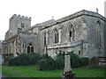
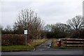
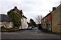
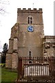
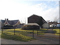
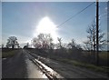
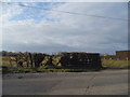
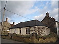
45 photos from this area
Area Information
Key information about the OX25 2RZ including its size, population, and administrative classification.
- Area Type
- Postcode
- Area Size
- 7915 m²
- Population
- 1323
- Population Density
- 2516 people/km²
House Prices in OX25 2RZ
20
Properties
£160,356
Average Sold Price
£56,450
Lowest Price
£266,976
Highest Price
Showing 20 properties
| Address | Type | Beds | Baths | Last Sale Price | Last Sale Date | |
|---|---|---|---|---|---|---|
| 34 Ash Lane, Ambrosden, OX25 2RZ | Semi-detached | 2 | 1 | £266,976 | Dec 2023 | |
| 6 Ash Lane, Ambrosden, OX25 2RZ | house | - | - | £258,000 | Dec 2021 | |
| 14 Ash Lane, Ambrosden, OX25 2RZ | Semi-detached | 3 | 1 | £263,000 | Aug 2020 | |
| 32 Ash Lane, Ambrosden, OX25 2RZ | Terraced | 2 | 1 | £235,000 | Aug 2020 | |
| 18 Ash Lane, Ambrosden, OX25 2RZ | Terraced | 3 | 2 | £245,000 | Jul 2016 | |
| 36 Ash Lane, Ambrosden, OX25 2RZ | Semi-detached | 2 | 1 | £219,000 | May 2015 | |
| 28 Ash Lane, Ambrosden, OX25 2RZ | Terraced | 2 | 1 | £228,000 | Apr 2015 | |
| 22 Ash Lane, Ambrosden, OX25 2RZ | Semi-detached | 3 | - | £225,000 | Jun 2014 | |
| 16 Ash Lane, Ambrosden, OX25 2RZ | Terraced | 3 | - | £215,000 | May 2014 | |
| 8 Ash Lane, Ambrosden, OX25 2RZ | house | - | - | £171,000 | Feb 2014 |
Page 1 of 2
Energy Efficiency in OX25 2RZ
Amenities
Schools
| Rank | School | Type | Entry gender | Ages |
|---|
Explore more schools in this area
Go to Schools tabDemographics
Household Size
Family (3-5 people)
most common
Accommodation Type
Houses
most common
Tenure
40
majority
Ethnic Group
White
most common
Religion
N/A
most common
Household Composition
N/A
most common
Age
47
median
Adults (30-64 years)
most common
Household Deprivation
N/A
with no deprivation
NS-SEC
40
in Lower managerial occupations
Explore more demographic insights in this area
Go to Demographics tabPlanning
Planning Constraints
- Flood RiskPremium
- Ramsar Wetland SitesPremium
- Area of Outstanding Natural BeautyPremium
- Protected Nature ReservePremium
- Protected WoodlandPremium