Area Overview for OX20 1US
Photos of OX20 1US
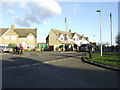
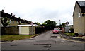
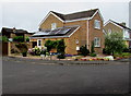
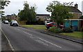
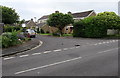
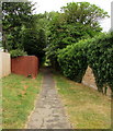
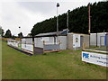
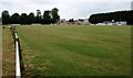
52 photos from this area
Area Information
Key information about the OX20 1US including its size, population, and administrative classification.
- Area Type
- Postcode
- Area Size
- 1.6 hectares
- Population
- 1304
- Population Density
- 98 people/km²
House Prices in OX20 1US
19
Properties
£433,417
Average Sold Price
£198,000
Lowest Price
£706,000
Highest Price
Showing 19 properties
| Address | Type | Beds | Baths | Last Sale Price | Last Sale Date | |
|---|---|---|---|---|---|---|
| 22 Crecy Walk, Woodstock, OX20 1US | Detached | 3 | 2 | £706,000 | Dec 2022 | |
| 34 Crecy Walk, Woodstock, OX20 1US | Detached | 4 | 2 | £550,000 | Nov 2020 | |
| 26 Crecy Walk, Woodstock, OX20 1US | Detached | 4 | 3 | £550,000 | Sep 2018 | |
| 12 Crecy Walk, Woodstock, OX20 1US | house | - | - | £393,000 | Mar 2013 | |
| 18 Crecy Walk, Woodstock, OX20 1US | Detached | - | - | £475,000 | Dec 2009 | |
| 14 Crecy Walk, Woodstock, OX20 1US | house | - | - | £460,000 | Oct 2009 | |
| 6 Crecy Walk, Woodstock, OX20 1US | Semi-detached | - | - | £375,000 | Mar 2009 | |
| 30 Crecy Walk, Woodstock, OX20 1US | house | 4 | 2 | £450,000 | Jan 2008 | |
| 16 Crecy Walk, Woodstock, OX20 1US | Detached | - | - | £369,000 | Apr 2006 | |
| 10 Crecy Walk, Woodstock, OX20 1US | Detached | - | - | £355,000 | Feb 2005 |
Page 1 of 2
Energy Efficiency in OX20 1US
Amenities
Schools
| Rank | School | Type | Entry gender | Ages |
|---|
Explore more schools in this area
Go to Schools tabDemographics
Household Size
Two person
most common
Accommodation Type
Houses
most common
Tenure
73
majority
Ethnic Group
White
most common
Religion
N/A
most common
Household Composition
N/A
most common
Age
47
median
Adults (30-64 years)
most common
Household Deprivation
N/A
with no deprivation
NS-SEC
59
in Lower managerial occupations
Explore more demographic insights in this area
Go to Demographics tabPlanning
Planning Constraints
- Flood RiskPremium
- Ramsar Wetland SitesPremium
- Area of Outstanding Natural BeautyPremium
- Protected Nature ReservePremium
- Protected WoodlandPremium