Area Overview for OX2 9LE
Photos of OX2 9LE
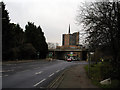

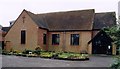
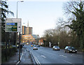
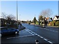
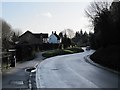
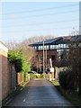
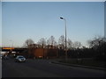
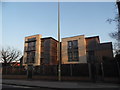
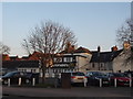
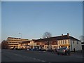
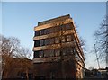
100 photos from this area
Area Information
Key information about the OX2 9LE including its size, population, and administrative classification.
- Area Type
- Postcode
- Area Size
- 2.9 hectares
- Population
- 2069
- Population Density
- 259 people/km²
House Prices in OX2 9LE
21
Properties
£322,746
Average Sold Price
£84,000
Lowest Price
£500,000
Highest Price
Showing 21 properties
| Address | Type | Beds | Baths | Last Sale Price | Last Sale Date | |
|---|---|---|---|---|---|---|
| 41 Hazel Road, Oxford, OX2 9LE | Bungalow | 3 | 1 | £480,000 | Oct 2023 | |
| 23 Hazel Road, Oxford, OX2 9LE | Semi-detached | 3 | 2 | £442,000 | Nov 2022 | |
| 9 Hazel Road, Oxford, OX2 9LE | house | - | - | £500,000 | Feb 2022 | |
| 27 Hazel Road, Oxford, OX2 9LE | Semi-detached | 3 | 1 | £395,000 | Apr 2019 | |
| 1 Hazel Road, Oxford, OX2 9LE | Semi-detached | 4 | - | £470,000 | Apr 2017 | |
| 25 Hazel Road, Oxford, OX2 9LE | Semi-detached | 3 | - | £432,000 | May 2016 | |
| 5 Hazel Road, Oxford, OX2 9LE | Semi-detached | 3 | 1 | £250,000 | Apr 2013 | |
| 19 Hazel Road, Oxford, OX2 9LE | Semi-detached | - | - | £300,000 | May 2012 | |
| 3 Hazel Road, Oxford, OX2 9LE | Semi-detached | 3 | - | £250,000 | Jan 2010 | |
| 35 Hazel Road, Oxford, OX2 9LE | Semi-detached | - | - | £170,000 | May 2004 |
Page 1 of 3
Energy Efficiency in OX2 9LE
Amenities
Schools
| Rank | School | Type | Entry gender | Ages |
|---|
Explore more schools in this area
Go to Schools tabDemographics
Household Size
Two person
most common
Accommodation Type
Houses
most common
Tenure
53
majority
Ethnic Group
White
most common
Religion
N/A
most common
Household Composition
N/A
most common
Age
47
median
Adults (30-64 years)
most common
Household Deprivation
N/A
with no deprivation
NS-SEC
48
in Lower managerial occupations
Explore more demographic insights in this area
Go to Demographics tabPlanning
Planning Constraints
- Flood RiskPremium
- Ramsar Wetland SitesPremium
- Area of Outstanding Natural BeautyPremium
- Protected Nature ReservePremium
- Protected WoodlandPremium