Area Overview for OX2 9LB
Photos of OX2 9LB


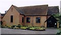
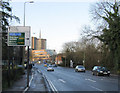
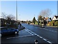
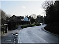


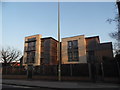
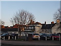
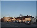
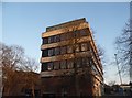
100 photos from this area
Area Information
Key information about the OX2 9LB including its size, population, and administrative classification.
- Area Type
- Postcode
- Area Size
- 9512 m²
- Population
- 2069
- Population Density
- 259 people/km²
House Prices in OX2 9LB
21
Properties
£414,578
Average Sold Price
£249,995
Lowest Price
£655,000
Highest Price
Showing 21 properties
| Address | Type | Beds | Baths | Last Sale Price | Last Sale Date | |
|---|---|---|---|---|---|---|
| 8 Poplar Road, Oxford, OX2 9LB | Terraced | 3 | 1 | £560,000 | Jan 2025 | |
| 16 Poplar Road, Oxford, OX2 9LB | Retail | 3 | 2 | £485,400 | Mar 2022 | |
| 10 Poplar Road, Oxford, OX2 9LB | house | - | - | £555,000 | Aug 2021 | |
| 36 Poplar Road, Oxford, OX2 9LB | Detached | 2 | - | £655,000 | Feb 2021 | |
| 18 Poplar Road, Oxford, OX2 9LB | Terraced | 3 | 2 | £557,950 | Nov 2020 | |
| 30 Poplar Road, Oxford, OX2 9LB | house | - | - | £382,500 | Jun 2019 | |
| 12 Poplar Road, Oxford, OX2 9LB | Terraced | 3 | 1 | £350,000 | Mar 2016 | |
| 24 Poplar Road, Oxford, OX2 9LB | Terraced | 2 | - | £370,250 | Nov 2014 | |
| 6 Poplar Road, Oxford, OX2 9LB | Terraced | 3 | - | £405,000 | Nov 2014 | |
| 38 Poplar Road, Oxford, OX2 9LB | house | 4 | - | £397,000 | Aug 2011 |
Page 1 of 3
Energy Efficiency in OX2 9LB
Amenities
Schools
| Rank | School | Type | Entry gender | Ages |
|---|
Explore more schools in this area
Go to Schools tabDemographics
Household Size
Two person
most common
Accommodation Type
Houses
most common
Tenure
53
majority
Ethnic Group
White
most common
Religion
N/A
most common
Household Composition
N/A
most common
Age
47
median
Adults (30-64 years)
most common
Household Deprivation
N/A
with no deprivation
NS-SEC
48
in Lower managerial occupations
Explore more demographic insights in this area
Go to Demographics tabPlanning
Planning Constraints
- Flood RiskPremium
- Ramsar Wetland SitesPremium
- Area of Outstanding Natural BeautyPremium
- Protected Nature ReservePremium
- Protected WoodlandPremium