Area Overview for OX2 7SB
Photos of OX2 7SB
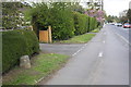
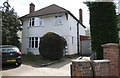
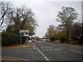
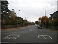
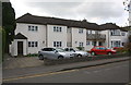
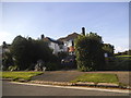
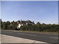
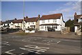
100 photos from this area
Area Information
Key information about the OX2 7SB including its size, population, and administrative classification.
- Area Type
- Postcode
- Area Size
- 3618 m²
- Population
- 1964
- Population Density
- 5602 people/km²
House Prices in OX2 7SB
12
Properties
£340,364
Average Sold Price
£108,000
Lowest Price
£885,000
Highest Price
Showing 12 properties
| Address | Type | Beds | Baths | Last Sale Price | Last Sale Date | |
|---|---|---|---|---|---|---|
| 53 Carlton Road, Oxford, OX2 7SB | house | 4 | 2 | £885,000 | Jun 2022 | |
| 51 Carlton Road, Oxford, OX2 7SB | Semi-detached | 3 | 1 | £656,500 | Nov 2019 | |
| 57 Carlton Road, Oxford, OX2 7SB | house | - | - | £406,500 | Jul 2010 | |
| 28 Carlton Road, Oxford, OX2 7SB | Detached | 4 | 3 | £225,000 | Nov 2005 | |
| 28A Carlton Road, Oxford, OX2 7SB | Semi-detached | 3 | 2 | £225,000 | Nov 2005 | |
| 47 Carlton Road, Oxford, OX2 7SB | house | - | - | £265,000 | Nov 2004 | |
| 55 Carlton Road, Oxford, OX2 7SB | Semi-detached | - | - | £300,000 | Mar 2004 | |
| 49 Carlton Road, Oxford, OX2 7SB | Semi-detached | 5 | 2 | £295,500 | Nov 2003 | |
| 26 Carlton Road, Oxford, OX2 7SB | Semi-detached | - | - | £265,500 | Nov 2001 | |
| 32 Carlton Road, Oxford, OX2 7SB | Semi-detached | - | - | £112,000 | Dec 1997 |
Page 1 of 2
Energy Efficiency in OX2 7SB
Amenities
Schools
| Rank | School | Type | Entry gender | Ages |
|---|
Explore more schools in this area
Go to Schools tabDemographics
Household Size
Family (3-5 people)
most common
Accommodation Type
Houses
most common
Tenure
40
majority
Ethnic Group
White
most common
Religion
N/A
most common
Household Composition
N/A
most common
Age
47
median
Adults (30-64 years)
most common
Household Deprivation
N/A
with no deprivation
NS-SEC
40
in Lower managerial occupations
Explore more demographic insights in this area
Go to Demographics tabPlanning
Planning Constraints
- Flood RiskPremium
- Ramsar Wetland SitesPremium
- Area of Outstanding Natural BeautyPremium
- Protected Nature ReservePremium
- Protected WoodlandPremium