Area Overview for OX2 6RW
Photos of OX2 6RW

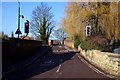
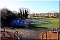

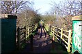
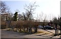
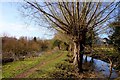
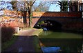
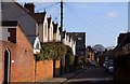
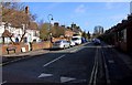
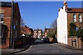
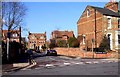
100 photos from this area
Area Information
Key information about the OX2 6RW including its size, population, and administrative classification.
- Area Type
- Postcode
- Area Size
- 5129 m²
- Population
- 1285
- Population Density
- 6774 people/km²
House Prices in OX2 6RW
25
Properties
£615,060
Average Sold Price
£139,000
Lowest Price
£1,475,000
Highest Price
Showing 25 properties
| Address | Type | Beds | Baths | Last Sale Price | Last Sale Date | |
|---|---|---|---|---|---|---|
| 119 Kingston Road, Oxford, OX2 6RW | Terraced | 2 | 1 | £625,000 | Jun 2024 | |
| 135 Kingston Road, Oxford, OX2 6RW | Terraced | 2 | 1 | £814,999 | Jun 2024 | |
| 137 Kingston Road, Oxford, OX2 6RW | Terraced | 4 | 1 | £1,087,500 | Sep 2023 | |
| 127 Kingston Road, Oxford, OX2 6RW | Terraced | 3 | 2 | £1,150,000 | Jun 2022 | |
| 114 Kingston Road, Oxford, OX2 6RW | Terraced | 3 | 1 | £1,475,000 | Sep 2021 | |
| 130 Kingston Road, Oxford, OX2 6RW | house | 4 | - | £995,000 | Aug 2020 | |
| 115 Kingston Road, Oxford, OX2 6RW | Terraced | 3 | 2 | £805,000 | Jul 2015 | |
| 136 Kingston Road, Oxford, OX2 6RW | Terraced | 3 | - | £860,000 | Mar 2015 | |
| 120 Kingston Road, Oxford, OX2 6RW | house | 3 | - | £520,000 | Sep 2011 | |
| 117 Kingston Road, Oxford, OX2 6RW | house | 3 | - | £620,000 | Sep 2011 |
Page 1 of 3
Energy Efficiency in OX2 6RW
Amenities
Schools
| Rank | School | Type | Entry gender | Ages |
|---|
Explore more schools in this area
Go to Schools tabDemographics
Household Size
Family (3-5 people)
most common
Accommodation Type
Houses
most common
Tenure
71
majority
Ethnic Group
White
most common
Religion
N/A
most common
Household Composition
N/A
most common
Age
47
median
Adults (30-64 years)
most common
Household Deprivation
N/A
with no deprivation
NS-SEC
66
in Lower managerial occupations
Explore more demographic insights in this area
Go to Demographics tabPlanning
Planning Constraints
- Flood RiskPremium
- Ramsar Wetland SitesPremium
- Area of Outstanding Natural BeautyPremium
- Protected Nature ReservePremium
- Protected WoodlandPremium