Area Overview for OX2 0BZ
Photos of OX2 0BZ
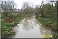
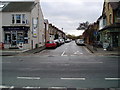
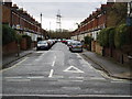
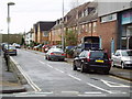
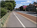
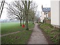
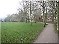
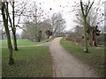
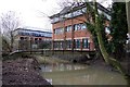
100 photos from this area
Area Information
Key information about the OX2 0BZ including its size, population, and administrative classification.
- Area Type
- Postcode
- Area Size
- 5223 m²
- Population
- 1533
- Population Density
- 1877 people/km²
House Prices in OX2 0BZ
28
Properties
£345,212
Average Sold Price
£97,000
Lowest Price
£740,000
Highest Price
Showing 28 properties
| Address | Type | Beds | Baths | Last Sale Price | Last Sale Date | |
|---|---|---|---|---|---|---|
| 34 Hill View Road, Oxford, OX2 0BZ | Terraced | 3 | 2 | £705,000 | Dec 2024 | |
| 2 Hill View Road, Oxford, OX2 0BZ | house | - | - | £740,000 | Mar 2021 | |
| 32 Hill View Road, Oxford, OX2 0BZ | house | 3 | - | £588,000 | Nov 2020 | |
| 24 Hill View Road, Oxford, OX2 0BZ | Terraced | 3 | - | £465,000 | Nov 2016 | |
| 38 Hill View Road, Oxford, OX2 0BZ | Terraced | 4 | - | £565,000 | May 2015 | |
| 52 Hill View Road, Oxford, OX2 0BZ | Terraced | 4 | - | £420,000 | Dec 2014 | |
| 26 Hill View Road, Oxford, OX2 0BZ | house | 4 | - | £335,000 | Dec 2012 | |
| 56 Hill View Road, Oxford, OX2 0BZ | house | 4 | - | £359,950 | Sep 2012 | |
| 16 Hill View Road, Oxford, OX2 0BZ | house | - | - | £335,000 | Oct 2010 | |
| 12 Hill View Road, Oxford, OX2 0BZ | house | - | - | £400,000 | Jun 2010 |
Page 1 of 3
Energy Efficiency in OX2 0BZ
Amenities
Schools
| Rank | School | Type | Entry gender | Ages |
|---|
Explore more schools in this area
Go to Schools tabDemographics
Household Size
One person
most common
Accommodation Type
Houses
most common
Tenure
46
majority
Ethnic Group
White
most common
Religion
N/A
most common
Household Composition
N/A
most common
Age
47
median
Adults (30-64 years)
most common
Household Deprivation
N/A
with no deprivation
NS-SEC
54
in Lower managerial occupations
Explore more demographic insights in this area
Go to Demographics tabPlanning
Planning Constraints
- Flood RiskPremium
- Ramsar Wetland SitesPremium
- Area of Outstanding Natural BeautyPremium
- Protected Nature ReservePremium
- Protected WoodlandPremium