Area Overview for OX18 4NS
Photos of OX18 4NS
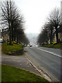
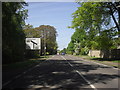
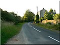

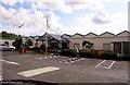
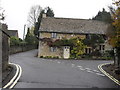
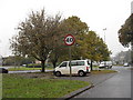
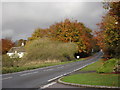
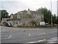
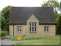
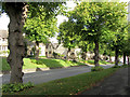
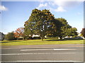
88 photos from this area
Area Information
Key information about the OX18 4NS including its size, population, and administrative classification.
- Area Type
- Postcode
- Area Size
- 2.6 hectares
- Population
- 1977
- Population Density
- 73 people/km²
House Prices in OX18 4NS
27
Properties
£305,161
Average Sold Price
£160,000
Lowest Price
£430,000
Highest Price
Showing 27 properties
| Address | Type | Beds | Baths | Last Sale Price | Last Sale Date | |
|---|---|---|---|---|---|---|
| 59 Frethern Close, Burford, OX18 4NS | Semi-detached | 3 | 1 | £430,000 | Jun 2025 | |
| 21 Frethern Close, Burford, OX18 4NS | Terraced | 3 | 1 | £365,000 | Feb 2025 | |
| 17 Frethern Close, Burford, OX18 4NS | Semi-detached | 3 | 2 | £365,000 | May 2023 | |
| 57 Frethern Close, Burford, OX18 4NS | house | - | - | £320,000 | Jun 2021 | |
| 15 Frethern Close, Burford, OX18 4NS | Semi-detached | 3 | 1 | £304,000 | Jun 2020 | |
| 53 Frethern Close, Burford, OX18 4NS | Semi-detached | 3 | 1 | £360,000 | Aug 2018 | |
| 25 Frethern Close, Burford, OX18 4NS | house | 2 | 1 | £222,500 | Oct 2013 | |
| 35 Frethern Close, Burford, OX18 4NS | house | 2 | 2 | £219,950 | Oct 2013 | |
| 29 Frethern Close, Burford, OX18 4NS | house | - | - | £160,000 | Aug 2004 | |
| 9 Frethern Close, Burford, OX18 4NS | house | - | - | - | - |
Page 1 of 3
Energy Efficiency in OX18 4NS
Amenities
Schools
| Rank | School | Type | Entry gender | Ages |
|---|
Explore more schools in this area
Go to Schools tabDemographics
Household Size
Two person
most common
Accommodation Type
Houses
most common
Tenure
65
majority
Ethnic Group
White
most common
Religion
N/A
most common
Household Composition
N/A
most common
Age
47
median
Adults (30-64 years)
most common
Household Deprivation
N/A
with no deprivation
NS-SEC
41
in Lower managerial occupations
Explore more demographic insights in this area
Go to Demographics tabPlanning
Planning Constraints
- Flood RiskPremium
- Ramsar Wetland SitesPremium
- Area of Outstanding Natural BeautyPremium
- Protected Nature ReservePremium
- Protected WoodlandPremium