Area Overview for OX18 4BJ
Photos of OX18 4BJ
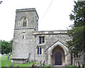

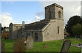
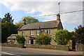
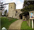

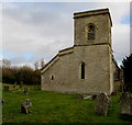
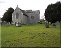
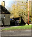
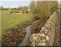
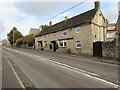
42 photos from this area
Area Information
Key information about the OX18 4BJ including its size, population, and administrative classification.
- Area Type
- Postcode
- Area Size
- 1.1 km²
- Population
- 1977
- Population Density
- 73 people/km²
House Prices in OX18 4BJ
26
Properties
£848,250
Average Sold Price
£280,000
Lowest Price
£1,700,000
Highest Price
Showing 26 properties
| Address | Type | Beds | Baths | Last Sale Price | Last Sale Date | |
|---|---|---|---|---|---|---|
| Pool House, Westhall Hill, Fulbrook, Burford, OX18 4BJ | Semi-detached | 5 | 2 | £885,000 | Jan 2024 | |
| Plovers, Westhall Hill, Fulbrook, Burford, OX18 4BJ | Detached | 3 | 2 | £1,330,000 | Dec 2022 | |
| The Old Manse, Westhall Hill, Fulbrook, Burford, OX18 4BJ | house | - | - | £1,700,000 | Feb 2022 | |
| Wagtail Cottage, Westhall Hill, Fulbrook, Burford, OX18 4BJ | Bungalow | 3 | 1 | £575,000 | Feb 2015 | |
| Westhall Cottage, Westhall Hill, Fulbrook, Burford, OX18 4BJ | house | 4 | - | £852,500 | Jan 2013 | |
| High Pound, Westhall Hill, Fulbrook, Burford, OX18 4BJ | house | 7 | - | £1,450,000 | Aug 2012 | |
| Mountfield, Westhall Hill, Fulbrook, Burford, OX18 4BJ | Detached | 4 | 3 | £280,000 | Oct 2002 | |
| Lillebo, Westhall Hill, Fulbrook, Burford, OX18 4BJ | Detached | - | - | £475,000 | Mar 2000 | |
| Dower House, Westhall Hill, Fulbrook, Burford, OX18 4BJ | house | 4 | 2 | £500,000 | Sep 1997 | |
| Field House, Westhall Hill, Fulbrook, Burford, OX18 4BJ | Detached | - | - | £435,000 | Apr 1997 |
Page 1 of 3
Energy Efficiency in OX18 4BJ
Amenities
Schools
| Rank | School | Type | Entry gender | Ages |
|---|
Explore more schools in this area
Go to Schools tabDemographics
Household Size
Two person
most common
Accommodation Type
Houses
most common
Tenure
65
majority
Ethnic Group
White
most common
Religion
N/A
most common
Household Composition
N/A
most common
Age
47
median
Adults (30-64 years)
most common
Household Deprivation
N/A
with no deprivation
NS-SEC
41
in Lower managerial occupations
Explore more demographic insights in this area
Go to Demographics tabPlanning
Planning Constraints
- Flood RiskPremium
- Ramsar Wetland SitesPremium
- Area of Outstanding Natural BeautyPremium
- Protected Nature ReservePremium
- Protected WoodlandPremium