Area Overview for OX18 2DE
Photos of OX18 2DE
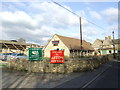
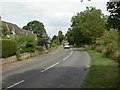
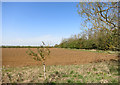
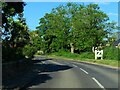
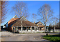
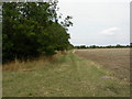
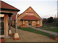
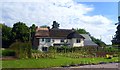
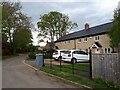
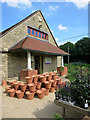
10 photos from this area
Area Information
Key information about the OX18 2DE including its size, population, and administrative classification.
- Area Type
- Postcode
- Area Size
- 26.8 hectares
- Population
- 1497
- Population Density
- 61 people/km²
House Prices in OX18 2DE
18
Properties
£454,750
Average Sold Price
£193,000
Lowest Price
£585,000
Highest Price
Showing 18 properties
| Address | Type | Beds | Baths | Last Sale Price | Last Sale Date | |
|---|---|---|---|---|---|---|
| Chestnut House, Ham Lane, Aston, Bampton, OX18 2DE | Detached | 4 | 1 | £585,000 | Feb 2024 | |
| The Old Coach House, Ham Lane, Aston, Bampton, OX18 2DE | Detached | 2 | 1 | £193,000 | Dec 2019 | |
| Birchwood Cottage, Ham Lane, Aston, Bampton, OX18 2DE | Semi-detached | 3 | 2 | £525,000 | Nov 2018 | |
| Hillbrook House, Ham Lane, Aston, Bampton, OX18 2DE | house | - | - | £520,000 | Jul 2017 | |
| Honeysuckle House, Ham Lane, Aston, Bampton, OX18 2DE | Detached | 5 | 3 | £510,000 | Dec 2014 | |
| Hawthorns, Ham Lane, Aston, Bampton, OX18 2DE | Detached | 4 | - | £475,000 | Jul 2014 | |
| Fieldview, Ham Lane, Aston, Bampton, OX18 2DE | Retail | 6 | 3 | £420,000 | Nov 2009 | |
| Conifers, Ham Lane, Aston, Bampton, OX18 2DE | Detached | - | - | £410,000 | Apr 2006 | |
| 2, Turner House, Wheelwright Court, Ham Lane, Aston, Bampton, OX18 2DE | Detached | 6 | 3 | - | - | |
| 4, Thistle Cottage, Wheelwright Court, Ham Lane, Aston, Bampton, OX18 2DE | Cottage | 4 | 2 | - | - |
Page 1 of 2
Energy Efficiency in OX18 2DE
Amenities
Schools
| Rank | School | Type | Entry gender | Ages |
|---|
Explore more schools in this area
Go to Schools tabDemographics
Household Size
Two person
most common
Accommodation Type
Houses
most common
Tenure
79
majority
Ethnic Group
White
most common
Religion
N/A
most common
Household Composition
N/A
most common
Age
47
median
Adults (30-64 years)
most common
Household Deprivation
N/A
with no deprivation
NS-SEC
44
in Lower managerial occupations
Explore more demographic insights in this area
Go to Demographics tabPlanning
Planning Constraints
- Flood RiskPremium
- Ramsar Wetland SitesPremium
- Area of Outstanding Natural BeautyPremium
- Protected Nature ReservePremium
- Protected WoodlandPremium