Area Overview for OX16 9NJ
Photos of OX16 9NJ
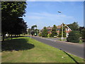
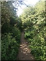
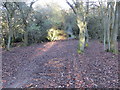
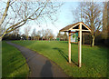
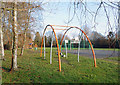
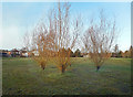
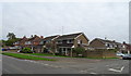
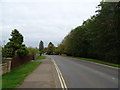
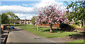
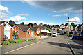
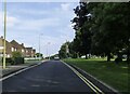
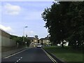
48 photos from this area
Area Information
Key information about the OX16 9NJ including its size, population, and administrative classification.
- Area Type
- Postcode
- Area Size
- 1.9 hectares
- Population
- 1982
- Population Density
- 2426 people/km²
House Prices in OX16 9NJ
18
Properties
£256,056
Average Sold Price
£133,500
Lowest Price
£355,000
Highest Price
Showing 18 properties
| Address | Type | Beds | Baths | Last Sale Price | Last Sale Date | |
|---|---|---|---|---|---|---|
| 7 Cranleigh Close, Banbury, OX16 9NJ | Bungalow | - | - | £355,000 | May 2023 | |
| 15 Cranleigh Close, Banbury, OX16 9NJ | Bungalow | - | - | £290,000 | Jun 2019 | |
| 9 Cranleigh Close, Banbury, OX16 9NJ | Bungalow | - | - | £340,000 | Nov 2018 | |
| 4 Cranleigh Close, Banbury, OX16 9NJ | Bungalow | 2 | 1 | £277,500 | Jul 2016 | |
| 1 Cranleigh Close, Banbury, OX16 9NJ | Bungalow | - | - | £315,000 | Sep 2014 | |
| 5 Cranleigh Close, Banbury, OX16 9NJ | Bungalow | 2 | - | £265,000 | Jul 2014 | |
| 13 Cranleigh Close, Banbury, OX16 9NJ | Detached | - | - | £170,000 | Apr 2011 | |
| 17 Cranleigh Close, Banbury, OX16 9NJ | Detached | - | - | £158,500 | May 2000 | |
| 3 Cranleigh Close, Banbury, OX16 9NJ | Detached | - | - | £133,500 | Jan 1999 | |
| 14 Cranleigh Close, Banbury, OX16 9NJ | Bungalow | - | - | - | - |
Page 1 of 2
Energy Efficiency in OX16 9NJ
Amenities
Schools
| Rank | School | Type | Entry gender | Ages |
|---|
Explore more schools in this area
Go to Schools tabDemographics
Household Size
Family (3-5 people)
most common
Accommodation Type
Houses
most common
Tenure
71
majority
Ethnic Group
White
most common
Religion
N/A
most common
Household Composition
N/A
most common
Age
47
median
Adults (30-64 years)
most common
Household Deprivation
N/A
with no deprivation
NS-SEC
29
in Lower managerial occupations
Explore more demographic insights in this area
Go to Demographics tabPlanning
Planning Constraints
- Flood RiskPremium
- Ramsar Wetland SitesPremium
- Area of Outstanding Natural BeautyPremium
- Protected Nature ReservePremium
- Protected WoodlandPremium