Area Overview for OX16 0TR
Photos of OX16 0TR
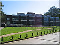
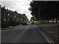
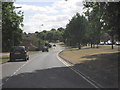
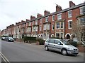
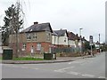
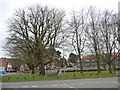
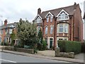
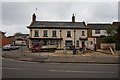
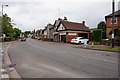
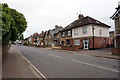
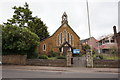
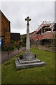
83 photos from this area
Area Information
Key information about the OX16 0TR including its size, population, and administrative classification.
- Area Type
- Postcode
- Area Size
- 1.3 hectares
- Population
- 1873
- Population Density
- 4873 people/km²
House Prices in OX16 0TR
49
Properties
£303,011
Average Sold Price
£73,000
Lowest Price
£555,000
Highest Price
Showing 49 properties
| Address | Type | Beds | Baths | Last Sale Price | Last Sale Date | |
|---|---|---|---|---|---|---|
| 130 Bath Road, Banbury, OX16 0TR | Terraced | 4 | 2 | £450,000 | Aug 2025 | |
| 110 Bath Road, Banbury, OX16 0TR | Terraced | 3 | 2 | £420,000 | Mar 2025 | |
| 96 Bath Road, Banbury, OX16 0TR | Terraced | 5 | 3 | £555,000 | Mar 2024 | |
| 54 Bath Road, Banbury, OX16 0TR | house | 2 | - | £262,000 | Aug 2023 | |
| 58 Bath Road, Banbury, OX16 0TR | Terraced | 2 | 1 | £248,000 | Sep 2022 | |
| 108 Bath Road, Banbury, OX16 0TR | Terraced | 4 | 3 | £400,000 | Apr 2022 | |
| 56 Bath Road, Banbury, OX16 0TR | Terraced | 2 | - | £252,500 | Feb 2022 | |
| 88 Bath Road, Banbury, OX16 0TR | house | - | - | £420,000 | Jun 2020 | |
| 102 Bath Road, Banbury, OX16 0TR | Terraced | - | - | £170,000 | Aug 2018 | |
| 70 Bath Road, Banbury, OX16 0TR | house | - | - | £417,500 | Mar 2018 |
Page 1 of 5
Energy Efficiency in OX16 0TR
Amenities
Schools
| Rank | School | Type | Entry gender | Ages |
|---|
Explore more schools in this area
Go to Schools tabDemographics
Household Size
One person
most common
Accommodation Type
Flats
most common
Tenure
45
majority
Ethnic Group
White
most common
Religion
N/A
most common
Household Composition
N/A
most common
Age
47
median
Adults (30-64 years)
most common
Household Deprivation
N/A
with no deprivation
NS-SEC
33
in Lower managerial occupations
Explore more demographic insights in this area
Go to Demographics tabPlanning
Planning Constraints
- Flood RiskPremium
- Ramsar Wetland SitesPremium
- Area of Outstanding Natural BeautyPremium
- Protected Nature ReservePremium
- Protected WoodlandPremium