Area Overview for OX16 0LE
Photos of OX16 0LE
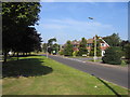
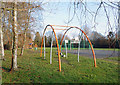
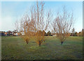
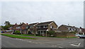
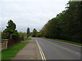
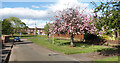
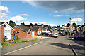
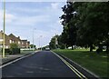
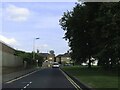
48 photos from this area
Area Information
Key information about the OX16 0LE including its size, population, and administrative classification.
- Area Type
- Postcode
- Area Size
- 1.5 hectares
- Population
- 1469
- Population Density
- 6720 people/km²
House Prices in OX16 0LE
33
Properties
£173,230
Average Sold Price
£60,000
Lowest Price
£265,000
Highest Price
Showing 33 properties
| Address | Type | Beds | Baths | Last Sale Price | Last Sale Date | |
|---|---|---|---|---|---|---|
| 49 Bretch Hill, Banbury, OX16 0LE | Terraced | 3 | 1 | £265,000 | May 2024 | |
| 33 Bretch Hill, Banbury, OX16 0LE | Semi-detached | 3 | 1 | £220,000 | Aug 2023 | |
| 59 Bretch Hill, Banbury, OX16 0LE | house | - | - | £250,000 | Dec 2021 | |
| 75 Bretch Hill, Banbury, OX16 0LE | Terraced | 3 | - | £205,000 | Feb 2021 | |
| 65 Bretch Hill, Banbury, OX16 0LE | Semi-detached | 3 | 1 | £200,000 | Jan 2020 | |
| 55 Bretch Hill, Banbury, OX16 0LE | Terraced | 3 | 1 | £195,000 | Apr 2019 | |
| 81 Bretch Hill, Banbury, OX16 0LE | Terraced | 3 | 1 | £169,950 | Mar 2017 | |
| 79 Bretch Hill, Banbury, OX16 0LE | Semi-detached | 3 | - | £214,000 | Mar 2016 | |
| 69 Bretch Hill, Banbury, OX16 0LE | Semi-detached | 3 | - | £180,000 | May 2015 | |
| 35 Bretch Hill, Banbury, OX16 0LE | Semi-detached | - | - | £161,500 | Sep 2007 |
Page 1 of 4
Energy Efficiency in OX16 0LE
Amenities
Schools
| Rank | School | Type | Entry gender | Ages |
|---|
Explore more schools in this area
Go to Schools tabDemographics
Household Size
Family (3-5 people)
most common
Accommodation Type
Houses
most common
Tenure
46
majority
Ethnic Group
White
most common
Religion
N/A
most common
Household Composition
N/A
most common
Age
47
median
Adults (30-64 years)
most common
Household Deprivation
N/A
with no deprivation
NS-SEC
17
in Lower managerial occupations
Explore more demographic insights in this area
Go to Demographics tabPlanning
Planning Constraints
- Flood RiskPremium
- Ramsar Wetland SitesPremium
- Area of Outstanding Natural BeautyPremium
- Protected Nature ReservePremium
- Protected WoodlandPremium