Area Overview for OX15 5RN
Photos of OX15 5RN
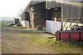
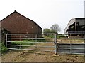
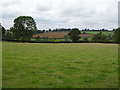
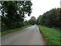
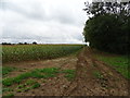
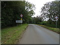
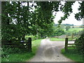
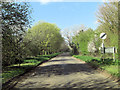
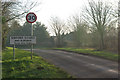
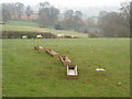
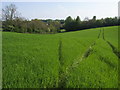
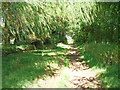
16 photos from this area
Area Information
Key information about the OX15 5RN including its size, population, and administrative classification.
- Area Type
- Postcode
- Area Size
- 45.0 hectares
- Population
- 1441
- Population Density
- 64 people/km²
House Prices in OX15 5RN
20
Properties
£412,375
Average Sold Price
£97,500
Lowest Price
£782,000
Highest Price
Showing 20 properties
| Address | Type | Beds | Baths | Last Sale Price | Last Sale Date | |
|---|---|---|---|---|---|---|
| Burdrop Farmhouse, Street Heading North From Acre Ditch, Burdrop, OX15 5RN | Detached | 4 | 1 | £782,000 | Dec 2019 | |
| Meadowbank, Street Heading North From Acre Ditch, Burdrop, OX15 5RN | house | - | - | £500,000 | Nov 2009 | |
| Holy Well House, Street Heading North From Acre Ditch, Burdrop, OX15 5RN | Detached | - | - | £270,000 | Nov 2004 | |
| Canny Cottage, Street Heading North From Acre Ditch, Burdrop, OX15 5RN | Detached | - | - | £97,500 | Oct 1996 | |
| Ruby Cottage, Street Heading North From Acre Ditch, Burdrop, OX15 5RN | Semi-detached | 3 | 2 | - | - | |
| Park Farm House, Street Heading North From Acre Ditch, Burdrop, OX15 5RN | house | 4 | - | - | - | |
| 6 Shepherds Close, Burdrop, OX15 5RN | house | 3 | - | - | - | |
| Burial Ground, Holy Trinity Church, Acre Ditch, Sibford Gower, OX15 5RN | commercial | - | - | - | - | |
| 3 Shepherds Close, Burdrop, OX15 5RN | house | - | - | - | - | |
| 5 Shepherds Close, Burdrop, OX15 5RN | house | - | - | - | - |
Page 1 of 2
Energy Efficiency in OX15 5RN
Amenities
Schools
| Rank | School | Type | Entry gender | Ages |
|---|
Explore more schools in this area
Go to Schools tabDemographics
Household Size
Two person
most common
Accommodation Type
Houses
most common
Tenure
79
majority
Ethnic Group
White
most common
Religion
N/A
most common
Household Composition
N/A
most common
Age
47
median
Adults (30-64 years)
most common
Household Deprivation
N/A
with no deprivation
NS-SEC
44
in Lower managerial occupations
Explore more demographic insights in this area
Go to Demographics tabPlanning
Planning Constraints
- Flood RiskPremium
- Ramsar Wetland SitesPremium
- Area of Outstanding Natural BeautyPremium
- Protected Nature ReservePremium
- Protected WoodlandPremium