Area Overview for OX15 4GL
Photos of OX15 4GL
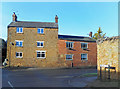
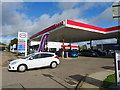
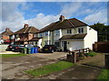
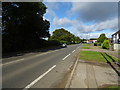
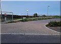
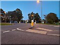
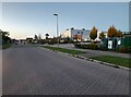
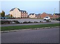
32 photos from this area
Area Information
Key information about the OX15 4GL including its size, population, and administrative classification.
- Area Type
- Postcode
- Area Size
- 1.4 hectares
- Population
- 1871
- Population Density
- 1009 people/km²
House Prices in OX15 4GL
48
Properties
£341,201
Average Sold Price
£225,000
Lowest Price
£1,142,549
Highest Price
Showing 48 properties
| Address | Type | Beds | Baths | Last Sale Price | Last Sale Date | |
|---|---|---|---|---|---|---|
| 53 Songthrush Road, Banbury, OX15 4GL | house | - | - | £327,500 | Mar 2025 | |
| 63 Songthrush Road, Banbury, OX15 4GL | Semi-detached | 3 | 2 | £305,000 | Sep 2024 | |
| 77 Songthrush Road, Banbury, OX15 4GL | Terraced | 3 | 2 | £340,000 | May 2023 | |
| 79 Songthrush Road, Banbury, OX15 4GL | Semi-detached | 3 | 3 | £265,000 | Jul 2022 | |
| 91 Songthrush Road, Banbury, OX15 4GL | Semi-detached | 3 | 2 | £264,500 | Apr 2021 | |
| 27 Songthrush Road, Banbury, OX15 4GL | Terraced | 2 | 1 | £237,500 | Mar 2021 | |
| 21 Songthrush Road, Banbury, OX15 4GL | house | - | - | £282,000 | Mar 2021 | |
| 93 Songthrush Road, Banbury, OX15 4GL | house | - | - | £329,995 | Aug 2017 | |
| 95 Songthrush Road, Banbury, OX15 4GL | house | - | - | £375,000 | May 2017 | |
| 89 Songthrush Road, Banbury, OX15 4GL | Semi-detached | 3 | 1 | £278,995 | Dec 2016 |
Page 1 of 5
Energy Efficiency in OX15 4GL
Amenities
Schools
| Rank | School | Type | Entry gender | Ages |
|---|
Explore more schools in this area
Go to Schools tabDemographics
Household Size
Family (3-5 people)
most common
Accommodation Type
Houses
most common
Tenure
72
majority
Ethnic Group
White
most common
Religion
N/A
most common
Household Composition
N/A
most common
Age
47
median
Adults (30-64 years)
most common
Household Deprivation
N/A
with no deprivation
NS-SEC
46
in Lower managerial occupations
Explore more demographic insights in this area
Go to Demographics tabPlanning
Planning Constraints
- Flood RiskPremium
- Ramsar Wetland SitesPremium
- Area of Outstanding Natural BeautyPremium
- Protected Nature ReservePremium
- Protected WoodlandPremium