Area Overview for OX14 1NA
Photos of OX14 1NA
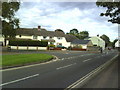
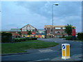

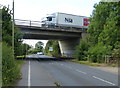
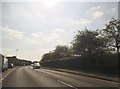
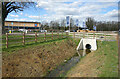
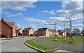
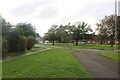
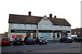

24 photos from this area
Area Information
Key information about the OX14 1NA including its size, population, and administrative classification.
- Area Type
- Postcode
- Area Size
- 2.0 hectares
- Population
- 1654
- Population Density
- 3509 people/km²
House Prices in OX14 1NA
21
Properties
£267,386
Average Sold Price
£75,000
Lowest Price
£490,000
Highest Price
Showing 21 properties
| Address | Type | Beds | Baths | Last Sale Price | Last Sale Date | |
|---|---|---|---|---|---|---|
| 78 Farm Road, Abingdon, OX14 1NA | Retail | 2 | 1 | £335,000 | Oct 2022 | |
| 72 Farm Road, Abingdon, OX14 1NA | Bungalow | - | - | £335,000 | Jul 2022 | |
| 70 Farm Road, Abingdon, OX14 1NA | Bungalow | - | - | £296,400 | Feb 2021 | |
| 106 Farm Road, Abingdon, OX14 1NA | Bungalow | 4 | 2 | £490,000 | Nov 2020 | |
| 82 Farm Road, Abingdon, OX14 1NA | Bungalow | 3 | 1 | £315,000 | Sep 2019 | |
| 66 Farm Road, Abingdon, OX14 1NA | Semi-detached | 2 | 1 | £320,000 | Apr 2019 | |
| 74 Farm Road, Abingdon, OX14 1NA | Semi-detached | 2 | 1 | £290,000 | Oct 2017 | |
| 86 Farm Road, Abingdon, OX14 1NA | Semi-detached | 4 | 2 | £365,000 | Jun 2016 | |
| 84 Farm Road, Abingdon, OX14 1NA | house | - | - | £245,000 | Oct 2009 | |
| 68 Farm Road, Abingdon, OX14 1NA | Semi-detached | - | - | £205,000 | Mar 2006 |
Page 1 of 3
Energy Efficiency in OX14 1NA
Amenities
Schools
| Rank | School | Type | Entry gender | Ages |
|---|
Explore more schools in this area
Go to Schools tabDemographics
Household Size
Family (3-5 people)
most common
Accommodation Type
Houses
most common
Tenure
47
majority
Ethnic Group
White
most common
Religion
N/A
most common
Household Composition
N/A
most common
Age
47
median
Adults (30-64 years)
most common
Household Deprivation
N/A
with no deprivation
NS-SEC
34
in Lower managerial occupations
Explore more demographic insights in this area
Go to Demographics tabPlanning
Planning Constraints
- Flood RiskPremium
- Ramsar Wetland SitesPremium
- Area of Outstanding Natural BeautyPremium
- Protected Nature ReservePremium
- Protected WoodlandPremium