Area Overview for OX14 1AX
Photos of OX14 1AX
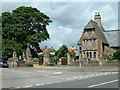
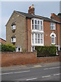
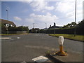
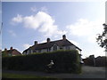
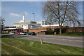
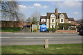
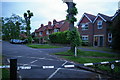
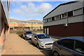
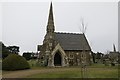
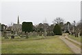
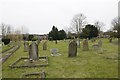
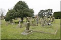
100 photos from this area
Area Information
Key information about the OX14 1AX including its size, population, and administrative classification.
- Area Type
- Postcode
- Area Size
- 1.3 hectares
- Population
- 1425
- Population Density
- 1616 people/km²
House Prices in OX14 1AX
15
Properties
£483,695
Average Sold Price
£240,000
Lowest Price
£1,135,000
Highest Price
Showing 15 properties
| Address | Type | Beds | Baths | Last Sale Price | Last Sale Date | |
|---|---|---|---|---|---|---|
| 92 Spring Road, Abingdon, OX14 1AX | Detached | 3 | 1 | £467,500 | Jun 2021 | |
| 94 Spring Road, Abingdon, OX14 1AX | Detached | 3 | 1 | £467,500 | May 2021 | |
| 108 Spring Road, Abingdon, OX14 1AX | Detached | 6 | 2 | £1,135,000 | Jan 2017 | |
| 102 Spring Road, Abingdon, OX14 1AX | Detached | 3 | 3 | £660,000 | Jul 2015 | |
| 86 Spring Road, Abingdon, OX14 1AX | Bungalow | 2 | - | £410,000 | Jul 2013 | |
| 100 Spring Road, Abingdon, OX14 1AX | house | - | - | £349,950 | Aug 2012 | |
| 84A Spring Road, Abingdon, OX14 1AX | Bungalow | 4 | 3 | £240,000 | Nov 2011 | |
| 84 Spring Road, Abingdon, OX14 1AX | house | 3 | - | £465,000 | Jan 2011 | |
| 106 Spring Road, Abingdon, OX14 1AX | Detached | - | - | £392,000 | Mar 2004 | |
| 96 Spring Road, Abingdon, OX14 1AX | Detached | - | - | £250,000 | Jul 2003 |
Page 1 of 2
Energy Efficiency in OX14 1AX
Amenities
Schools
| Rank | School | Type | Entry gender | Ages |
|---|
Explore more schools in this area
Go to Schools tabDemographics
Household Size
Two person
most common
Accommodation Type
Houses
most common
Tenure
66
majority
Ethnic Group
White
most common
Religion
N/A
most common
Household Composition
N/A
most common
Age
47
median
Adults (30-64 years)
most common
Household Deprivation
N/A
with no deprivation
NS-SEC
53
in Lower managerial occupations
Explore more demographic insights in this area
Go to Demographics tabPlanning
Planning Constraints
- Flood RiskPremium
- Ramsar Wetland SitesPremium
- Area of Outstanding Natural BeautyPremium
- Protected Nature ReservePremium
- Protected WoodlandPremium