Area Overview for OX13 6JP
Photos of OX13 6JP
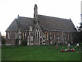
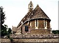
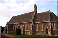
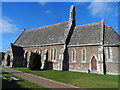
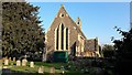
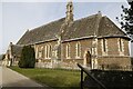
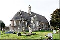
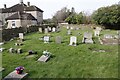
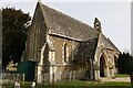
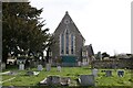
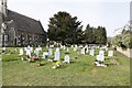
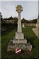
34 photos from this area
Area Information
Key information about the OX13 6JP including its size, population, and administrative classification.
- Area Type
- Postcode
- Area Size
- 67.5 hectares
- Population
- 1662
- Population Density
- 285 people/km²
House Prices in OX13 6JP
27
Properties
£720,917
Average Sold Price
£160,000
Lowest Price
£1,870,000
Highest Price
Showing 27 properties
| Address | Type | Beds | Baths | Last Sale Price | Last Sale Date | |
|---|---|---|---|---|---|---|
| The Old Malt House, 48 Church Lane, Dry Sandford, Abingdon, OX13 6JP | Detached | 4 | 2 | £965,000 | Jan 2024 | |
| Bishops House, Church Lane, Dry Sandford, Abingdon, OX13 6JP | Detached | - | - | £732,000 | Dec 2020 | |
| Manor Farmhouse, 84 Church Lane, Dry Sandford, Abingdon, OX13 6JP | Detached | 6 | 4 | £1,650,000 | Jun 2019 | |
| 54 Church Lane, Dry Sandford, Abingdon, OX13 6JP | Bungalow | 3 | - | £663,000 | Dec 2010 | |
| Laburnum Cottage, 90 Church Lane, Dry Sandford, Abingdon, OX13 6JP | Detached | 5 | 2 | £920,000 | May 2010 | |
| Rockfield, 52 Church Lane, Dry Sandford, Abingdon, OX13 6JP | house | - | - | £430,000 | Aug 2007 | |
| The Thatched Cottage, 50 Church Lane, Dry Sandford, Abingdon, OX13 6JP | Detached | - | - | £375,000 | Dec 2003 | |
| Manor House, Church Lane, Dry Sandford, Abingdon, OX13 6JP | Detached | - | - | £1,870,000 | Jul 2001 | |
| Elmstead, 85 Church Lane, Dry Sandford, Abingdon, OX13 6JP | Detached | - | - | £325,000 | Aug 2000 | |
| Old Tara Barn, Church Lane, Dry Sandford, Abingdon, OX13 6JP | house | - | - | £335,000 | Sep 1998 |
Page 1 of 3
Energy Efficiency in OX13 6JP
Amenities
Schools
| Rank | School | Type | Entry gender | Ages |
|---|
Explore more schools in this area
Go to Schools tabDemographics
Household Size
Two person
most common
Accommodation Type
Houses
most common
Tenure
79
majority
Ethnic Group
White
most common
Religion
N/A
most common
Household Composition
N/A
most common
Age
47
median
Adults (30-64 years)
most common
Household Deprivation
N/A
with no deprivation
NS-SEC
44
in Lower managerial occupations
Explore more demographic insights in this area
Go to Demographics tabPlanning
Planning Constraints
- Flood RiskPremium
- Ramsar Wetland SitesPremium
- Area of Outstanding Natural BeautyPremium
- Protected Nature ReservePremium
- Protected WoodlandPremium