Area Overview for OX12 7BG
Photos of OX12 7BG
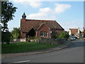
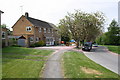
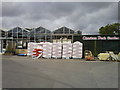
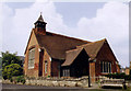
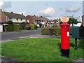
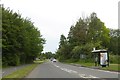


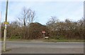
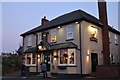
60 photos from this area
Area Information
Key information about the OX12 7BG including its size, population, and administrative classification.
- Area Type
- Postcode
- Area Size
- 6712 m²
- Population
- 1138
- Population Density
- 5285 people/km²
House Prices in OX12 7BG
11
Properties
£253,564
Average Sold Price
£58,950
Lowest Price
£685,000
Highest Price
Showing 11 properties
| Address | Type | Beds | Baths | Last Sale Price | Last Sale Date | |
|---|---|---|---|---|---|---|
| 78 Grove Street, Wantage, OX12 7BG | Semi-detached | 5 | 1 | £685,000 | Aug 2025 | |
| 68 Grove Street, Wantage, OX12 7BG | Cottage | 2 | 1 | £241,000 | Dec 2018 | |
| 92 Grove Street, Wantage, OX12 7BG | Terraced | 3 | 1 | £265,000 | Oct 2018 | |
| 94 Grove Street, Wantage, OX12 7BG | house | 3 | - | £177,500 | Aug 2012 | |
| 74 Grove Street, Wantage, OX12 7BG | house | - | - | £237,500 | Jun 2003 | |
| 70 Grove Street, Wantage, OX12 7BG | house | - | - | £110,000 | Apr 2002 | |
| 66 Grove Street, Wantage, OX12 7BG | Terraced | - | - | £58,950 | Oct 1996 | |
| 64 Grove Street, Wantage, OX12 7BG | house | 2 | - | - | - | |
| 80 Grove Street, Wantage, OX12 7BG | Semi-detached | - | - | - | - | |
| 88 Grove Street, Wantage, OX12 7BG | Terraced | - | - | - | - |
Page 1 of 2
Energy Efficiency in OX12 7BG
Amenities
Schools
| Rank | School | Type | Entry gender | Ages |
|---|
Explore more schools in this area
Go to Schools tabDemographics
Household Size
One person
most common
Accommodation Type
Flats
most common
Tenure
47
majority
Ethnic Group
White
most common
Religion
N/A
most common
Household Composition
N/A
most common
Age
47
median
Adults (30-64 years)
most common
Household Deprivation
N/A
with no deprivation
NS-SEC
41
in Lower managerial occupations
Explore more demographic insights in this area
Go to Demographics tabPlanning
Planning Constraints
- Flood RiskPremium
- Ramsar Wetland SitesPremium
- Area of Outstanding Natural BeautyPremium
- Protected Nature ReservePremium
- Protected WoodlandPremium