Area Overview for OX11 8AB
Photos of OX11 8AB
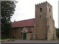
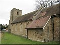
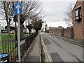
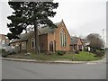
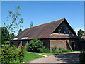
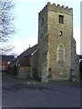
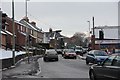
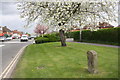
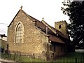


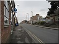
100 photos from this area
Area Information
Key information about the OX11 8AB including its size, population, and administrative classification.
- Area Type
- Postcode
- Area Size
- 7778 m²
- Population
- 1599
- Population Density
- 2927 people/km²
House Prices in OX11 8AB
14
Properties
£272,500
Average Sold Price
£180,000
Lowest Price
£365,000
Highest Price
Showing 14 properties
| Address | Type | Beds | Baths | Last Sale Price | Last Sale Date | |
|---|---|---|---|---|---|---|
| 114A Broadway, Didcot, OX11 8AB | Flat | - | - | £365,000 | Feb 2022 | |
| 112A Broadway, Didcot, OX11 8AB | Flat | - | - | £180,000 | Apr 2007 | |
| 106A Broadway, Didcot, OX11 8AB | Retail | - | - | - | - | |
| Gareth Clark, Gareth Clark Hair For Men, 102 Broadway, Didcot, OX11 8AB | shop | - | - | - | - | |
| Choi's, 106 Broadway, Didcot, OX11 8AB | restaurant_cafe | - | - | - | - | |
| Didcot Kebab, 100 Broadway, Didcot, OX11 8AB | Restaurant | - | - | - | - | |
| Grandma's Pantry, 114 Broadway, Didcot, OX11 8AB | retail_financial | - | - | - | - | |
| Beauty Within, 104 Broadway, Didcot, OX11 8AB | Retail | - | - | - | - | |
| Flat, 122 Broadway, Didcot, OX11 8AB | retail_financial | - | 1 | - | - | |
| 104A Broadway, Didcot, OX11 8AB | Maisonette | - | - | - | - |
Page 1 of 2
Energy Efficiency in OX11 8AB
Amenities
Schools
| Rank | School | Type | Entry gender | Ages |
|---|
Explore more schools in this area
Go to Schools tabDemographics
Household Size
Family (3-5 people)
most common
Accommodation Type
Houses
most common
Tenure
62
majority
Ethnic Group
White
most common
Religion
N/A
most common
Household Composition
N/A
most common
Age
47
median
Adults (30-64 years)
most common
Household Deprivation
N/A
with no deprivation
NS-SEC
40
in Lower managerial occupations
Explore more demographic insights in this area
Go to Demographics tabPlanning
Planning Constraints
- Flood RiskPremium
- Ramsar Wetland SitesPremium
- Area of Outstanding Natural BeautyPremium
- Protected Nature ReservePremium
- Protected WoodlandPremium