Area Overview for OX10 9LP
Photos of OX10 9LP
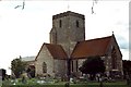

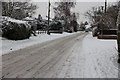
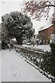
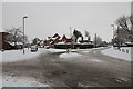
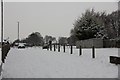


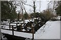
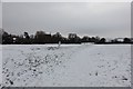
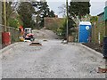
100 photos from this area
Area Information
Key information about the OX10 9LP including its size, population, and administrative classification.
- Area Type
- Postcode
- Area Size
- 6.0 hectares
- Population
- 1815
- Population Density
- 2217 people/km²
House Prices in OX10 9LP
24
Properties
£490,179
Average Sold Price
£201,500
Lowest Price
£993,000
Highest Price
Showing 24 properties
| Address | Type | Beds | Baths | Last Sale Price | Last Sale Date | |
|---|---|---|---|---|---|---|
| 29 West End, Cholsey, Wallingford, OX10 9LP | Detached | 5 | 2 | £940,000 | Jul 2025 | |
| 39 West End, Cholsey, Wallingford, OX10 9LP | house | 4 | 3 | £555,000 | Feb 2025 | |
| 62 West End, Cholsey, Wallingford, OX10 9LP | Detached | 3 | 1 | £510,000 | May 2024 | |
| 41 West End, Cholsey, Wallingford, OX10 9LP | house | - | - | £700,500 | Sep 2021 | |
| The Chase, 27 West End, Cholsey, Wallingford, OX10 9LP | Detached | 4 | 4 | £993,000 | Dec 2020 | |
| Blue Bonnets, 31 West End, Cholsey, Wallingford, OX10 9LP | Detached | - | - | £292,500 | Oct 2019 | |
| 68 West End, Cholsey, Wallingford, OX10 9LP | Detached | 3 | 2 | £475,000 | Dec 2018 | |
| 37 West End, Cholsey, Wallingford, OX10 9LP | Terraced | 2 | 1 | £286,000 | Oct 2014 | |
| 56 West End, Cholsey, Wallingford, OX10 9LP | house | 3 | - | £305,000 | Jun 2012 | |
| 47 West End, Cholsey, Wallingford, OX10 9LP | house | 4 | - | £430,000 | Sep 2011 |
Page 1 of 3
Energy Efficiency in OX10 9LP
Amenities
Schools
| Rank | School | Type | Entry gender | Ages |
|---|
Explore more schools in this area
Go to Schools tabDemographics
Household Size
Family (3-5 people)
most common
Accommodation Type
Houses
most common
Tenure
72
majority
Ethnic Group
White
most common
Religion
N/A
most common
Household Composition
N/A
most common
Age
47
median
Adults (30-64 years)
most common
Household Deprivation
N/A
with no deprivation
NS-SEC
47
in Lower managerial occupations
Explore more demographic insights in this area
Go to Demographics tabPlanning
Planning Constraints
- Flood RiskPremium
- Ramsar Wetland SitesPremium
- Area of Outstanding Natural BeautyPremium
- Protected Nature ReservePremium
- Protected WoodlandPremium