Area Overview for OX10 8AH
Photos of OX10 8AH
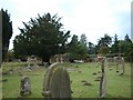
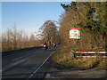
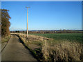
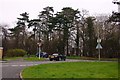
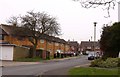
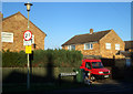
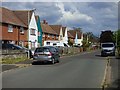
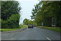
49 photos from this area
Area Information
Key information about the OX10 8AH including its size, population, and administrative classification.
- Area Type
- Postcode
- Area Size
- 3.6 hectares
- Population
- 1353
- Population Density
- 2586 people/km²
House Prices in OX10 8AH
33
Properties
£258,805
Average Sold Price
£75,000
Lowest Price
£570,000
Highest Price
Showing 33 properties
| Address | Type | Beds | Baths | Last Sale Price | Last Sale Date | |
|---|---|---|---|---|---|---|
| 73 Wilding Road, Wallingford, OX10 8AH | Terraced | 2 | 1 | £345,000 | Nov 2025 | |
| 47 Wilding Road, Wallingford, OX10 8AH | Semi-detached | 3 | 1 | £360,000 | Jan 2024 | |
| 109 Wilding Road, Wallingford, OX10 8AH | Terraced | 2 | 1 | £352,500 | Dec 2022 | |
| 87 Wilding Road, Wallingford, OX10 8AH | Semi-detached | 3 | 1 | £570,000 | Dec 2022 | |
| 51 Wilding Road, Wallingford, OX10 8AH | Semi-detached | 3 | 1 | £260,000 | Aug 2022 | |
| 77 Wilding Road, Wallingford, OX10 8AH | house | - | - | £420,000 | Apr 2021 | |
| 89 Wilding Road, Wallingford, OX10 8AH | Semi-detached | 4 | 2 | £415,000 | Mar 2021 | |
| 49 Wilding Road, Wallingford, OX10 8AH | Semi-detached | 2 | 1 | £300,000 | Jan 2020 | |
| 53 Wilding Road, Wallingford, OX10 8AH | Semi-detached | 3 | 1 | £212,040 | Jan 2012 | |
| 91 Wilding Road, Wallingford, OX10 8AH | Terraced | 2 | 1 | £160,000 | Dec 2010 |
Page 1 of 4
Energy Efficiency in OX10 8AH
Amenities
Schools
| Rank | School | Type | Entry gender | Ages |
|---|
Explore more schools in this area
Go to Schools tabDemographics
Household Size
Family (3-5 people)
most common
Accommodation Type
Houses
most common
Tenure
64
majority
Ethnic Group
White
most common
Religion
N/A
most common
Household Composition
N/A
most common
Age
47
median
Adults (30-64 years)
most common
Household Deprivation
N/A
with no deprivation
NS-SEC
33
in Lower managerial occupations
Explore more demographic insights in this area
Go to Demographics tabPlanning
Planning Constraints
- Flood RiskPremium
- Ramsar Wetland SitesPremium
- Area of Outstanding Natural BeautyPremium
- Protected Nature ReservePremium
- Protected WoodlandPremium