Area Overview for OX10 8AB
Photos of OX10 8AB
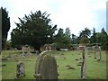
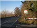
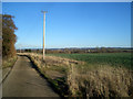
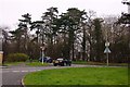
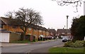
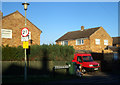
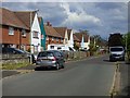
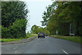
49 photos from this area
Area Information
Key information about the OX10 8AB including its size, population, and administrative classification.
- Area Type
- Postcode
- Area Size
- 1.2 hectares
- Population
- 2265
- Population Density
- 5769 people/km²
House Prices in OX10 8AB
30
Properties
£291,768
Average Sold Price
£142,500
Lowest Price
£600,000
Highest Price
Showing 30 properties
| Address | Type | Beds | Baths | Last Sale Price | Last Sale Date | |
|---|---|---|---|---|---|---|
| 30 Sinodun Road, Wallingford, OX10 8AB | Semi-detached | 3 | 1 | £427,000 | May 2024 | |
| 10 Sinodun Road, Wallingford, OX10 8AB | Semi-detached | 5 | - | £600,000 | Sep 2019 | |
| 46 Sinodun Road, Wallingford, OX10 8AB | Flat | - | - | £230,000 | Mar 2017 | |
| 12 Sinodun Road, Wallingford, OX10 8AB | Semi-detached | 3 | 1 | £335,000 | Apr 2014 | |
| 22 Sinodun Road, Wallingford, OX10 8AB | Semi-detached | 3 | - | £248,000 | Jul 2013 | |
| 70 Sinodun Road, Wallingford, OX10 8AB | house | 4 | - | £335,000 | Nov 2012 | |
| 68 Sinodun Road, Wallingford, OX10 8AB | Flat | - | - | £142,500 | Mar 2012 | |
| 26 Sinodun Road, Wallingford, OX10 8AB | Semi-detached | 3 | 1 | £247,000 | Aug 2011 | |
| 52 Sinodun Road, Wallingford, OX10 8AB | Flat | - | - | £172,000 | Sep 2010 | |
| 20 Sinodun Road, Wallingford, OX10 8AB | Semi-detached | - | - | £249,950 | Feb 2008 |
Page 1 of 3
Energy Efficiency in OX10 8AB
Amenities
Schools
| Rank | School | Type | Entry gender | Ages |
|---|
Explore more schools in this area
Go to Schools tabDemographics
Household Size
Family (3-5 people)
most common
Accommodation Type
Houses
most common
Tenure
58
majority
Ethnic Group
White
most common
Religion
N/A
most common
Household Composition
N/A
most common
Age
47
median
Adults (30-64 years)
most common
Household Deprivation
N/A
with no deprivation
NS-SEC
38
in Lower managerial occupations
Explore more demographic insights in this area
Go to Demographics tabPlanning
Planning Constraints
- Flood RiskPremium
- Ramsar Wetland SitesPremium
- Area of Outstanding Natural BeautyPremium
- Protected Nature ReservePremium
- Protected WoodlandPremium