Area Overview for OX10 0PT
Photos of OX10 0PT

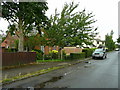
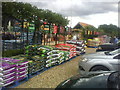
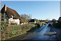
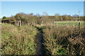
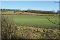
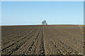
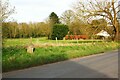
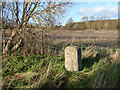

30 photos from this area
Area Information
Key information about the OX10 0PT including its size, population, and administrative classification.
- Area Type
- Postcode
- Area Size
- 72.2 hectares
- Population
- 1244
- Population Density
- 424 people/km²
House Prices in OX10 0PT
6
Properties
£1,212,500
Average Sold Price
£225,000
Lowest Price
£2,200,000
Highest Price
Showing 6 properties
| Address | Type | Beds | Baths | Last Sale Price | Last Sale Date | |
|---|---|---|---|---|---|---|
| Moreton House, High Road, Brightwell Cum Sotwell, Wallingford, OX10 0PT | house | - | - | £2,200,000 | Apr 2022 | |
| Cedarwood, High Road, Brightwell Cum Sotwell, Wallingford, OX10 0PT | Mobile Home | 2 | 2 | £225,000 | Jul 1999 | |
| Cafe One, Root One, High Road, Brightwell Cum Sotwell, Wallingford, OX10 0PT | retail_financial | - | - | - | - | |
| Sinodun Hill House, High Road, Brightwell Cum Sotwell, Wallingford, OX10 0PT | Detached | - | - | - | - | |
| The Lodge, Sinodun Hill House, High Road, Brightwell Cum Sotwell, Wallingford, OX10 0PT | house | 3 | - | - | - | |
| Root One Ltd, High Road, Brightwell Cum Sotwell, Wallingford, OX10 0PT | restaurant_cafe | - | - | - | - |
Energy Efficiency in OX10 0PT
Amenities
Schools
| Rank | School | Type | Entry gender | Ages |
|---|
Explore more schools in this area
Go to Schools tabDemographics
Household Size
Family (3-5 people)
most common
Accommodation Type
Houses
most common
Tenure
83
majority
Ethnic Group
White
most common
Religion
N/A
most common
Household Composition
N/A
most common
Age
47
median
Adults (30-64 years)
most common
Household Deprivation
N/A
with no deprivation
NS-SEC
48
in Lower managerial occupations
Explore more demographic insights in this area
Go to Demographics tabPlanning
Planning Constraints
- Flood RiskPremium
- Ramsar Wetland SitesPremium
- Area of Outstanding Natural BeautyPremium
- Protected Nature ReservePremium
- Protected WoodlandPremium