Area Overview for OX10 0PA
Photos of OX10 0PA
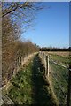
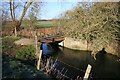
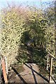
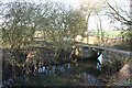
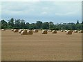
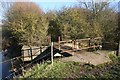
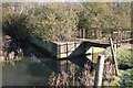
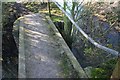
100 photos from this area
Area Information
Key information about the OX10 0PA including its size, population, and administrative classification.
- Area Type
- Postcode
- Area Size
- 2.7 hectares
- Population
- 1339
- Population Density
- 1465 people/km²
House Prices in OX10 0PA
35
Properties
£385,058
Average Sold Price
£85,000
Lowest Price
£640,000
Highest Price
Showing 35 properties
| Address | Type | Beds | Baths | Last Sale Price | Last Sale Date | |
|---|---|---|---|---|---|---|
| 28 Greenfield Crescent, Wallingford, OX10 0PA | Semi-detached | 3 | 1 | £440,000 | Mar 2025 | |
| 17 Greenfield Crescent, Wallingford, OX10 0PA | Detached | 4 | 1 | £545,000 | Jul 2024 | |
| 27 Greenfield Crescent, Wallingford, OX10 0PA | Bungalow | 3 | 1 | £525,000 | Oct 2023 | |
| 7 Greenfield Crescent, Wallingford, OX10 0PA | Detached | 4 | 3 | £640,000 | Jul 2023 | |
| 3 Greenfield Crescent, Wallingford, OX10 0PA | house | - | - | £470,000 | Dec 2021 | |
| 12 Greenfield Crescent, Wallingford, OX10 0PA | house | - | - | £438,000 | Apr 2021 | |
| 8 Greenfield Crescent, Wallingford, OX10 0PA | house | - | - | £555,000 | Jan 2021 | |
| 6 Greenfield Crescent, Wallingford, OX10 0PA | house | - | - | £418,000 | Dec 2020 | |
| 4 Greenfield Crescent, Wallingford, OX10 0PA | Detached | 4 | 2 | £543,500 | May 2018 | |
| 13 Greenfield Crescent, Wallingford, OX10 0PA | Detached | 4 | - | £455,000 | Sep 2017 |
Page 1 of 4
Energy Efficiency in OX10 0PA
Amenities
Schools
| Rank | School | Type | Entry gender | Ages |
|---|
Explore more schools in this area
Go to Schools tabDemographics
Household Size
Two person
most common
Accommodation Type
Houses
most common
Tenure
83
majority
Ethnic Group
White
most common
Religion
N/A
most common
Household Composition
N/A
most common
Age
47
median
Adults (30-64 years)
most common
Household Deprivation
N/A
with no deprivation
NS-SEC
47
in Lower managerial occupations
Explore more demographic insights in this area
Go to Demographics tabPlanning
Planning Constraints
- Flood RiskPremium
- Ramsar Wetland SitesPremium
- Area of Outstanding Natural BeautyPremium
- Protected Nature ReservePremium
- Protected WoodlandPremium