Area Overview for OX10 0LR
Photos of OX10 0LR
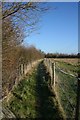
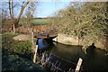
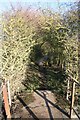
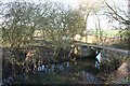
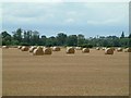
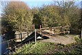
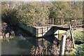
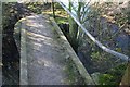
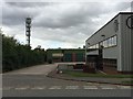
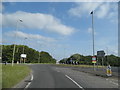
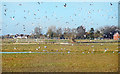
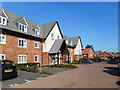
100 photos from this area
Area Information
Key information about the OX10 0LR including its size, population, and administrative classification.
- Area Type
- Postcode
- Area Size
- 1.2 hectares
- Population
- 1339
- Population Density
- 1465 people/km²
House Prices in OX10 0LR
24
Properties
£429,972
Average Sold Price
£117,000
Lowest Price
£900,000
Highest Price
Showing 24 properties
| Address | Type | Beds | Baths | Last Sale Price | Last Sale Date | |
|---|---|---|---|---|---|---|
| 47 Wantage Road, Wallingford, OX10 0LR | Semi-detached | 3 | 1 | £610,000 | Oct 2025 | |
| 11 Wantage Road, Wallingford, OX10 0LR | Semi-detached | 4 | 2 | £550,000 | Oct 2023 | |
| 43 Wantage Road, Wallingford, OX10 0LR | house | - | - | £570,000 | Dec 2021 | |
| 33 Wantage Road, Wallingford, OX10 0LR | Detached | 4 | 2 | £900,000 | Oct 2021 | |
| 29 Wantage Road, Wallingford, OX10 0LR | Terraced | 3 | 1 | £499,999 | Sep 2021 | |
| 23 Wantage Road, Wallingford, OX10 0LR | Semi-detached | 2 | 1 | £490,000 | Oct 2020 | |
| 15 Wantage Road, Wallingford, OX10 0LR | house | - | - | £450,000 | Oct 2020 | |
| 9 Wantage Road, Wallingford, OX10 0LR | Terraced | 3 | 1 | £397,000 | Mar 2019 | |
| 27 Wantage Road, Wallingford, OX10 0LR | Terraced | 3 | 1 | £475,000 | Sep 2017 | |
| 37 Wantage Road, Wallingford, OX10 0LR | Terraced | 3 | 2 | £412,500 | Dec 2014 |
Page 1 of 3
Energy Efficiency in OX10 0LR
Amenities
Schools
| Rank | School | Type | Entry gender | Ages |
|---|
Explore more schools in this area
Go to Schools tabDemographics
Household Size
Two person
most common
Accommodation Type
Houses
most common
Tenure
83
majority
Ethnic Group
White
most common
Religion
N/A
most common
Household Composition
N/A
most common
Age
47
median
Adults (30-64 years)
most common
Household Deprivation
N/A
with no deprivation
NS-SEC
47
in Lower managerial occupations
Explore more demographic insights in this area
Go to Demographics tabPlanning
Planning Constraints
- Flood RiskPremium
- Ramsar Wetland SitesPremium
- Area of Outstanding Natural BeautyPremium
- Protected Nature ReservePremium
- Protected WoodlandPremium