Area Overview for OX10 0HU
Photos of OX10 0HU
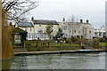
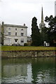
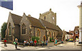
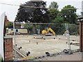

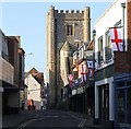
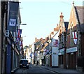
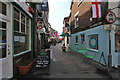
100 photos from this area
Area Information
Key information about the OX10 0HU including its size, population, and administrative classification.
- Area Type
- Postcode
- Area Size
- 3276 m²
- Population
- 2265
- Population Density
- 5769 people/km²
House Prices in OX10 0HU
13
Properties
£298,273
Average Sold Price
£110,000
Lowest Price
£625,000
Highest Price
Showing 13 properties
| Address | Type | Beds | Baths | Last Sale Price | Last Sale Date | |
|---|---|---|---|---|---|---|
| The Bungalow, Station Road, Wallingford, OX10 0HU | Bungalow | 2 | 2 | £625,000 | Oct 2025 | |
| 9B Station Road, Wallingford, OX10 0HU | Flat | - | - | £206,000 | Nov 2024 | |
| 7 Station Road, Wallingford, OX10 0HU | house | - | - | £210,000 | Dec 2023 | |
| 6 Station Road, Wallingford, OX10 0HU | house | 3 | 1 | £315,000 | Apr 2022 | |
| 4 Station Road, Wallingford, OX10 0HU | house | - | - | £320,000 | Sep 2021 | |
| 9A Station Road, Wallingford, OX10 0HU | Flat | 2 | 1 | £250,000 | Sep 2019 | |
| 8 Station Road, Wallingford, OX10 0HU | Terraced | 3 | 2 | £325,000 | Mar 2019 | |
| 3 Station Road, Wallingford, OX10 0HU | Semi-detached | 4 | 2 | £395,000 | Sep 2014 | |
| 10 Station Road, Wallingford, OX10 0HU | Semi-detached | 5 | 2 | £305,000 | Jul 2010 | |
| 9C Station Road, Wallingford, OX10 0HU | Flat | 1 | 1 | £110,000 | Nov 2006 |
Page 1 of 2
Energy Efficiency in OX10 0HU
Amenities
Schools
| Rank | School | Type | Entry gender | Ages |
|---|
Explore more schools in this area
Go to Schools tabDemographics
Household Size
Family (3-5 people)
most common
Accommodation Type
Houses
most common
Tenure
58
majority
Ethnic Group
White
most common
Religion
N/A
most common
Household Composition
N/A
most common
Age
47
median
Adults (30-64 years)
most common
Household Deprivation
N/A
with no deprivation
NS-SEC
38
in Lower managerial occupations
Explore more demographic insights in this area
Go to Demographics tabPlanning
Planning Constraints
- Flood RiskPremium
- Ramsar Wetland SitesPremium
- Area of Outstanding Natural BeautyPremium
- Protected Nature ReservePremium
- Protected WoodlandPremium