Area Overview for OX1 4QG
Photos of OX1 4QG
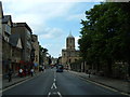

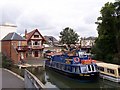
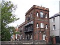

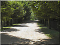
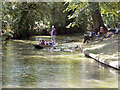
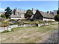
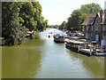
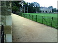
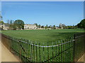
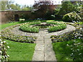
100 photos from this area
Area Information
Key information about the OX1 4QG including its size, population, and administrative classification.
- Area Type
- Postcode
- Area Size
- 1945 m²
- Population
- 1148
- Population Density
- 4742 people/km²
House Prices in OX1 4QG
17
Properties
£452,733
Average Sold Price
£235,000
Lowest Price
£750,000
Highest Price
Showing 17 properties
| Address | Type | Beds | Baths | Last Sale Price | Last Sale Date | |
|---|---|---|---|---|---|---|
| 37, Burford Lodge Pegasus Grange, White House Road, Oxford, OX1 4QG | Flat | 2 | 1 | £450,000 | Jul 2025 | |
| 30, Burford Lodge Pegasus Grange, White House Road, Oxford, OX1 4QG | Flat | 3 | 2 | £690,000 | Feb 2025 | |
| 38, Burford Lodge Pegasus Grange, White House Road, Oxford, OX1 4QG | Flat | 1 | 1 | £300,000 | Apr 2024 | |
| 40, Burford Lodge Pegasus Grange, White House Road, Oxford, OX1 4QG | Flat | 2 | 1 | £456,000 | Feb 2024 | |
| 36, Burford Lodge Pegasus Grange, White House Road, Oxford, OX1 4QG | Flat | 2 | 2 | £425,000 | Jan 2024 | |
| 42, Burford Lodge Pegasus Grange, White House Road, Oxford, OX1 4QG | Flat | - | - | £475,000 | Oct 2023 | |
| 29, Burford Lodge Pegasus Grange, White House Road, Oxford, OX1 4QG | Flat | 2 | 2 | £430,000 | Apr 2022 | |
| 43, Burford Lodge Pegasus Grange, White House Road, Oxford, OX1 4QG | Maisonette | - | - | £750,000 | Feb 2022 | |
| 41, Burford Lodge Pegasus Grange, White House Road, Oxford, OX1 4QG | Flat | - | - | £630,000 | Jan 2019 | |
| 34, Burford Lodge Pegasus Grange, White House Road, Oxford, OX1 4QG | Flat | - | - | £375,000 | Apr 2017 |
Page 1 of 2
Energy Efficiency in OX1 4QG
Amenities
Schools
| Rank | School | Type | Entry gender | Ages |
|---|
Explore more schools in this area
Go to Schools tabDemographics
Household Size
One person
most common
Accommodation Type
Houses
most common
Tenure
55
majority
Ethnic Group
White
most common
Religion
N/A
most common
Household Composition
N/A
most common
Age
47
median
Adults (30-64 years)
most common
Household Deprivation
N/A
with no deprivation
NS-SEC
55
in Lower managerial occupations
Explore more demographic insights in this area
Go to Demographics tabPlanning
Planning Constraints
- Flood RiskPremium
- Ramsar Wetland SitesPremium
- Area of Outstanding Natural BeautyPremium
- Protected Nature ReservePremium
- Protected WoodlandPremium