Area Overview for OX1 4LU
Photos of OX1 4LU
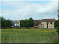
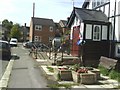

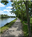

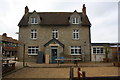
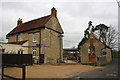
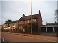
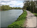
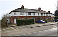
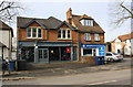
100 photos from this area
Area Information
Key information about the OX1 4LU including its size, population, and administrative classification.
- Area Type
- Postcode
- Area Size
- 9371 m²
- Population
- 1203
- Population Density
- 3949 people/km²
House Prices in OX1 4LU
20
Properties
£450,222
Average Sold Price
£153,000
Lowest Price
£725,000
Highest Price
Showing 20 properties
| Address | Type | Beds | Baths | Last Sale Price | Last Sale Date | |
|---|---|---|---|---|---|---|
| 238 Marlborough Road, Oxford, OX1 4LU | Terraced | 3 | 1 | £692,500 | Jul 2024 | |
| 248 Marlborough Road, Oxford, OX1 4LU | Terraced | 2 | 1 | £575,000 | Sep 2022 | |
| 236 Marlborough Road, Oxford, OX1 4LU | Terraced | 2 | 1 | £725,000 | Dec 2020 | |
| 254 Marlborough Road, Oxford, OX1 4LU | Terraced | 2 | 1 | £492,500 | Oct 2018 | |
| 266 Marlborough Road, Oxford, OX1 4LU | Terraced | 3 | 1 | £525,500 | Jun 2017 | |
| 262 Marlborough Road, Oxford, OX1 4LU | Terraced | 2 | 1 | £358,168 | Mar 2016 | |
| 252 Marlborough Road, Oxford, OX1 4LU | Terraced | 5 | 2 | £510,000 | Aug 2013 | |
| 246 Marlborough Road, Oxford, OX1 4LU | house | 3 | - | £370,000 | Aug 2011 | |
| 260 Marlborough Road, Oxford, OX1 4LU | house | 3 | - | £463,000 | Sep 2010 | |
| 250 Marlborough Road, Oxford, OX1 4LU | Terraced | - | - | £258,000 | Aug 2005 |
Page 1 of 2
Energy Efficiency in OX1 4LU
Amenities
Schools
| Rank | School | Type | Entry gender | Ages |
|---|
Explore more schools in this area
Go to Schools tabDemographics
Household Size
One person
most common
Accommodation Type
Flats
most common
Tenure
38
majority
Ethnic Group
White
most common
Religion
N/A
most common
Household Composition
N/A
most common
Age
47
median
Adults (30-64 years)
most common
Household Deprivation
N/A
with no deprivation
NS-SEC
43
in Lower managerial occupations
Explore more demographic insights in this area
Go to Demographics tabPlanning
Planning Constraints
- Flood RiskPremium
- Ramsar Wetland SitesPremium
- Area of Outstanding Natural BeautyPremium
- Protected Nature ReservePremium
- Protected WoodlandPremium