Area Overview for MK8 8BB
Photos of MK8 8BB
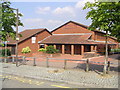

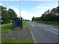
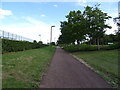
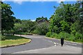
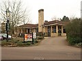
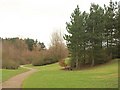
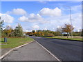
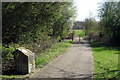
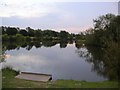
13 photos from this area
Area Information
Key information about the MK8 8BB including its size, population, and administrative classification.
- Area Type
- Postcode
- Area Size
- 6363 m²
- Population
- 1529
- Population Density
- 1116 people/km²
House Prices in MK8 8BB
16
Properties
£97,500
Average Sold Price
£20,000
Lowest Price
£154,000
Highest Price
Showing 16 properties
| Address | Type | Beds | Baths | Last Sale Price | Last Sale Date | |
|---|---|---|---|---|---|---|
| 105 Clay Hill, Two Mile Ash, Milton Keynes, MK8 8BB | Flat | - | - | £125,000 | Dec 2021 | |
| 113 Clay Hill, Two Mile Ash, Milton Keynes, MK8 8BB | Terraced | 1 | 1 | £154,000 | Dec 2021 | |
| 115 Clay Hill, Two Mile Ash, Milton Keynes, MK8 8BB | Terraced | 1 | - | £150,000 | May 2019 | |
| 95 Clay Hill, Two Mile Ash, Milton Keynes, MK8 8BB | Terraced | 1 | 1 | £145,000 | Oct 2017 | |
| 91 Clay Hill, Two Mile Ash, Milton Keynes, MK8 8BB | Flat | 1 | 1 | £122,000 | Aug 2015 | |
| 121 Clay Hill, Two Mile Ash, Milton Keynes, MK8 8BB | Maisonette | 1 | - | £89,800 | Apr 2014 | |
| 109 Clay Hill, Two Mile Ash, Milton Keynes, MK8 8BB | Flat | - | - | £105,000 | Dec 2008 | |
| 97 Clay Hill, Two Mile Ash, Milton Keynes, MK8 8BB | Terraced | - | - | £122,700 | Nov 2007 | |
| 103 Clay Hill, Two Mile Ash, Milton Keynes, MK8 8BB | Flat | 1 | 1 | £97,500 | Apr 2006 | |
| 93 Clay Hill, Two Mile Ash, Milton Keynes, MK8 8BB | Flat | - | - | £70,000 | Aug 2003 |
Page 1 of 2
Energy Efficiency in MK8 8BB
Amenities
Schools
| Rank | School | Type | Entry gender | Ages |
|---|
Explore more schools in this area
Go to Schools tabDemographics
Household Size
Family (3-5 people)
most common
Accommodation Type
Houses
most common
Tenure
83
majority
Ethnic Group
White
most common
Religion
N/A
most common
Household Composition
N/A
most common
Age
47
median
Adults (30-64 years)
most common
Household Deprivation
N/A
with no deprivation
NS-SEC
45
in Lower managerial occupations
Explore more demographic insights in this area
Go to Demographics tabPlanning
Planning Constraints
- Flood RiskPremium
- Ramsar Wetland SitesPremium
- Area of Outstanding Natural BeautyPremium
- Protected Nature ReservePremium
- Protected WoodlandPremium