Area Overview for MK7 7AZ
Photos of MK7 7AZ


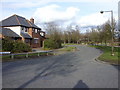
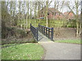
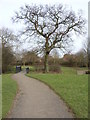
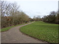
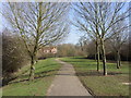
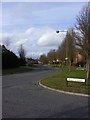
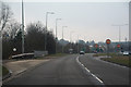

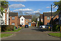

25 photos from this area
Area Information
Key information about the MK7 7AZ including its size, population, and administrative classification.
- Area Type
- Postcode
- Area Size
- 2.4 hectares
- Population
- 1559
- Population Density
- 3249 people/km²
House Prices in MK7 7AZ
47
Properties
£196,053
Average Sold Price
£76,995
Lowest Price
£495,000
Highest Price
Showing 47 properties
| Address | Type | Beds | Baths | Last Sale Price | Last Sale Date | |
|---|---|---|---|---|---|---|
| 21 Dixie Lane, Wavendon Gate, Milton Keynes, MK7 7AZ | Detached | 3 | - | £375,000 | Sep 2021 | |
| 16 Dixie Lane, Wavendon Gate, Milton Keynes, MK7 7AZ | house | - | - | £495,000 | Jun 2021 | |
| 37 Dixie Lane, Wavendon Gate, Milton Keynes, MK7 7AZ | Detached | 3 | - | £350,000 | Mar 2021 | |
| 43 Dixie Lane, Wavendon Gate, Milton Keynes, MK7 7AZ | Detached | 4 | 2 | £345,000 | Nov 2015 | |
| 38 Dixie Lane, Wavendon Gate, Milton Keynes, MK7 7AZ | Detached | 3 | 2 | £282,000 | Oct 2015 | |
| 14 Dixie Lane, Wavendon Gate, Milton Keynes, MK7 7AZ | house | - | - | £319,495 | Mar 2015 | |
| 41 Dixie Lane, Wavendon Gate, Milton Keynes, MK7 7AZ | Detached | 4 | - | £250,000 | Jul 2012 | |
| 40 Dixie Lane, Wavendon Gate, Milton Keynes, MK7 7AZ | Detached | - | - | £240,000 | Aug 2004 | |
| 23 Dixie Lane, Wavendon Gate, Milton Keynes, MK7 7AZ | Detached | 3 | 2 | £136,500 | May 2002 | |
| 13 Dixie Lane, Wavendon Gate, Milton Keynes, MK7 7AZ | Detached | - | - | £166,500 | Sep 2001 |
Page 1 of 5
Energy Efficiency in MK7 7AZ
Amenities
Schools
| Rank | School | Type | Entry gender | Ages |
|---|
Explore more schools in this area
Go to Schools tabDemographics
Household Size
Family (3-5 people)
most common
Accommodation Type
Houses
most common
Tenure
36
majority
Ethnic Group
White
most common
Religion
N/A
most common
Household Composition
N/A
most common
Age
47
median
Adults (30-64 years)
most common
Household Deprivation
N/A
with no deprivation
NS-SEC
28
in Lower managerial occupations
Explore more demographic insights in this area
Go to Demographics tabPlanning
Planning Constraints
- Flood RiskPremium
- Ramsar Wetland SitesPremium
- Area of Outstanding Natural BeautyPremium
- Protected Nature ReservePremium
- Protected WoodlandPremium