Area Overview for MK46 5PE
Photos of MK46 5PE
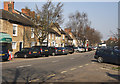
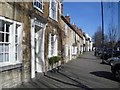
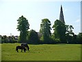
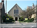


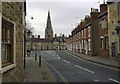

98 photos from this area
Area Information
Key information about the MK46 5PE including its size, population, and administrative classification.
- Area Type
- Postcode
- Area Size
- 3164 m²
- Population
- 1872
- Population Density
- 346 people/km²
House Prices in MK46 5PE
13
Properties
£210,045
Average Sold Price
£69,995
Lowest Price
£402,000
Highest Price
Showing 13 properties
| Address | Type | Beds | Baths | Last Sale Price | Last Sale Date | |
|---|---|---|---|---|---|---|
| 75 Foxhill, Olney, MK46 5PE | house | 3 | 1 | £402,000 | Jan 2025 | |
| 87 Foxhill, Olney, MK46 5PE | Semi-detached | 3 | 1 | £290,000 | Mar 2024 | |
| 69 Foxhill, Olney, MK46 5PE | Terraced | 2 | 1 | £200,000 | Feb 2021 | |
| 89 Foxhill, Olney, MK46 5PE | Detached | 3 | - | £310,000 | May 2019 | |
| 73 Foxhill, Olney, MK46 5PE | house | - | - | £298,000 | Aug 2015 | |
| 71 Foxhill, Olney, MK46 5PE | house | - | - | £189,000 | Aug 2015 | |
| 67A Foxhill, Olney, MK46 5PE | house | - | - | £161,000 | Apr 2014 | |
| 77 Foxhill, Olney, MK46 5PE | Terraced | - | - | £205,000 | Jul 2008 | |
| 85 Foxhill, Olney, MK46 5PE | Terraced | 2 | - | £106,500 | Aug 2002 | |
| 83 Foxhill, Olney, MK46 5PE | Terraced | - | - | £79,000 | Jul 2000 |
Page 1 of 2
Energy Efficiency in MK46 5PE
Amenities
Schools
| Rank | School | Type | Entry gender | Ages |
|---|
Explore more schools in this area
Go to Schools tabDemographics
Household Size
Two person
most common
Accommodation Type
Houses
most common
Tenure
82
majority
Ethnic Group
White
most common
Religion
N/A
most common
Household Composition
N/A
most common
Age
47
median
Adults (30-64 years)
most common
Household Deprivation
N/A
with no deprivation
NS-SEC
52
in Lower managerial occupations
Explore more demographic insights in this area
Go to Demographics tabPlanning
Planning Constraints
- Flood RiskPremium
- Ramsar Wetland SitesPremium
- Area of Outstanding Natural BeautyPremium
- Protected Nature ReservePremium
- Protected WoodlandPremium