Area Overview for MK46 4JF
Photos of MK46 4JF
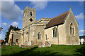
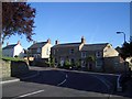
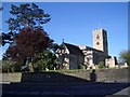
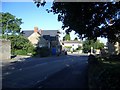
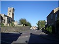
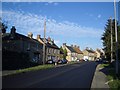
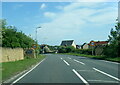
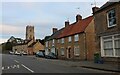

19 photos from this area
Area Information
Key information about the MK46 4JF including its size, population, and administrative classification.
- Area Type
- Postcode
- Area Size
- 1.5 hectares
- Population
- 1793
- Population Density
- 86 people/km²
House Prices in MK46 4JF
21
Properties
£277,750
Average Sold Price
£92,000
Lowest Price
£415,000
Highest Price
Showing 21 properties
| Address | Type | Beds | Baths | Last Sale Price | Last Sale Date | |
|---|---|---|---|---|---|---|
| 1 Joiners Way, Lavendon, MK46 4JF | Bungalow | 2 | 1 | £350,000 | Nov 2024 | |
| 20 Joiners Way, Lavendon, MK46 4JF | Chalet | 3 | 1 | £339,000 | Oct 2023 | |
| 4 Joiners Way, Lavendon, MK46 4JF | house | - | - | £315,000 | May 2023 | |
| 16 Joiners Way, Lavendon, MK46 4JF | house | - | - | £415,000 | Jan 2022 | |
| 2 Joiners Way, Lavendon, MK46 4JF | house | - | - | £342,000 | Sep 2021 | |
| 26 Joiners Way, Lavendon, MK46 4JF | Detached | 3 | 1 | £325,000 | Jul 2021 | |
| 8 Joiners Way, Lavendon, MK46 4JF | house | 3 | - | £330,000 | Oct 2020 | |
| Lauriston, 9 Joiners Way, Lavendon, MK46 4JF | Detached | 3 | 1 | £318,000 | Aug 2020 | |
| 6 Joiners Way, Lavendon, MK46 4JF | house | - | - | £267,000 | Jun 2020 | |
| 7 Joiners Way, Lavendon, MK46 4JF | house | - | - | £290,000 | Sep 2017 |
Page 1 of 3
Energy Efficiency in MK46 4JF
Amenities
Schools
| Rank | School | Type | Entry gender | Ages |
|---|
Explore more schools in this area
Go to Schools tabDemographics
Household Size
Two person
most common
Accommodation Type
Houses
most common
Tenure
77
majority
Ethnic Group
White
most common
Religion
N/A
most common
Household Composition
N/A
most common
Age
47
median
Adults (30-64 years)
most common
Household Deprivation
N/A
with no deprivation
NS-SEC
45
in Lower managerial occupations
Explore more demographic insights in this area
Go to Demographics tabPlanning
Planning Constraints
- Flood RiskPremium
- Ramsar Wetland SitesPremium
- Area of Outstanding Natural BeautyPremium
- Protected Nature ReservePremium
- Protected WoodlandPremium